
General Information
Project Type
| Structure: |
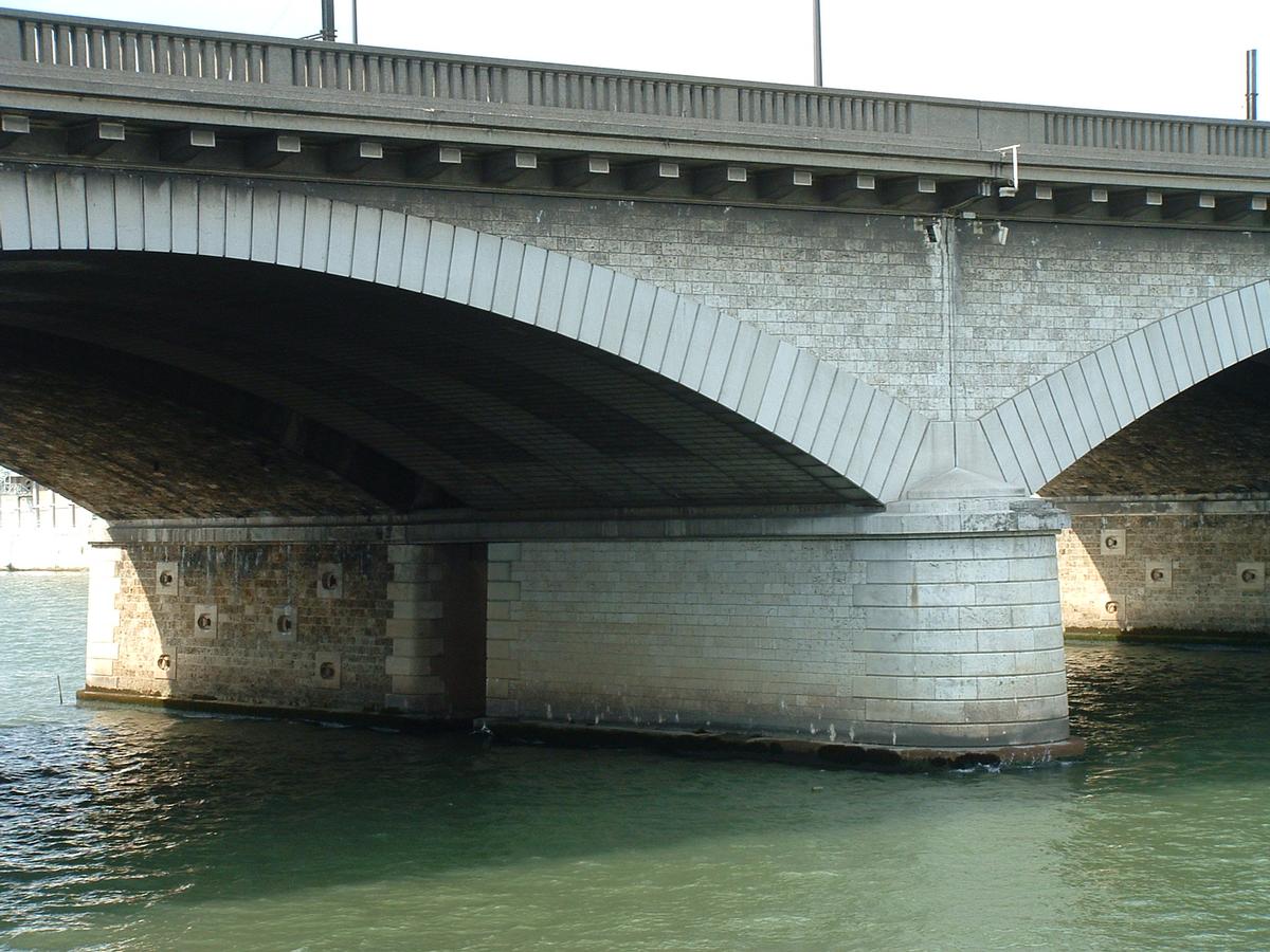
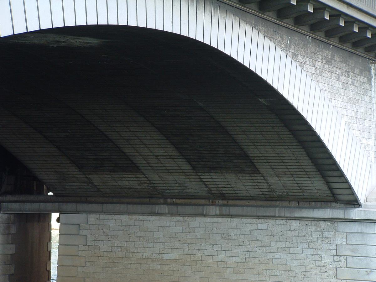
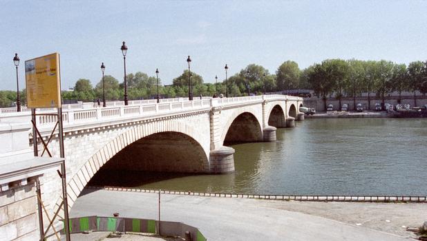
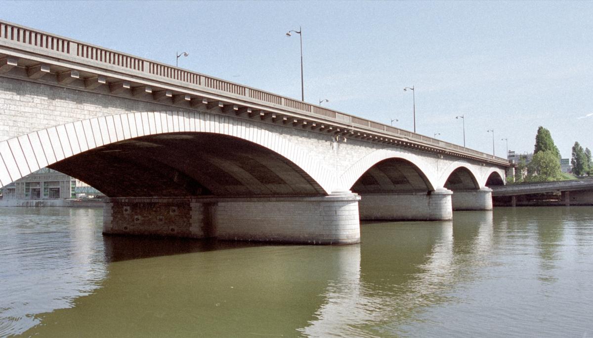
Segmental arch bridge |
|---|---|
| Function / usage: |
Road bridge |
| Material: |
Reinforced concrete bridge |
Location
| Location: |
Paris (12th), Paris, Ile-de-France, France Paris (13th), Paris, Ile-de-France, France |
|---|---|
| Crosses: |
|
| Next to: |
National Bridge (1853)
|
| Supports: |
Pont National Footbridge (2011)
|
| Coordinates: | 48° 49' 40.66" N 2° 23' 13.89" E |
Technical Information
There currently is no technical data available.
Excerpt from Wikipedia
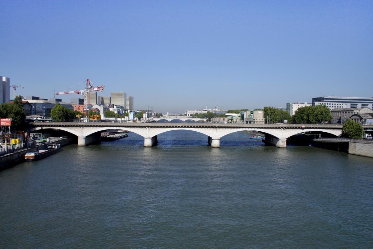
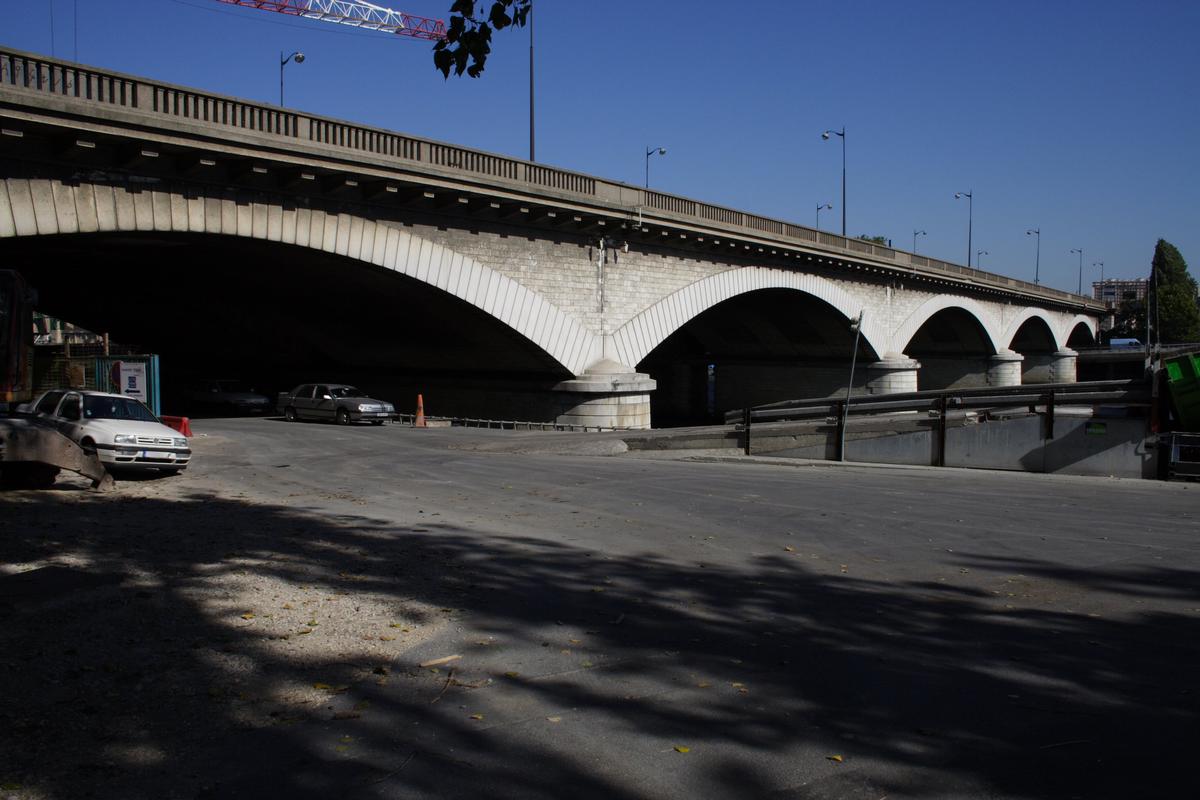
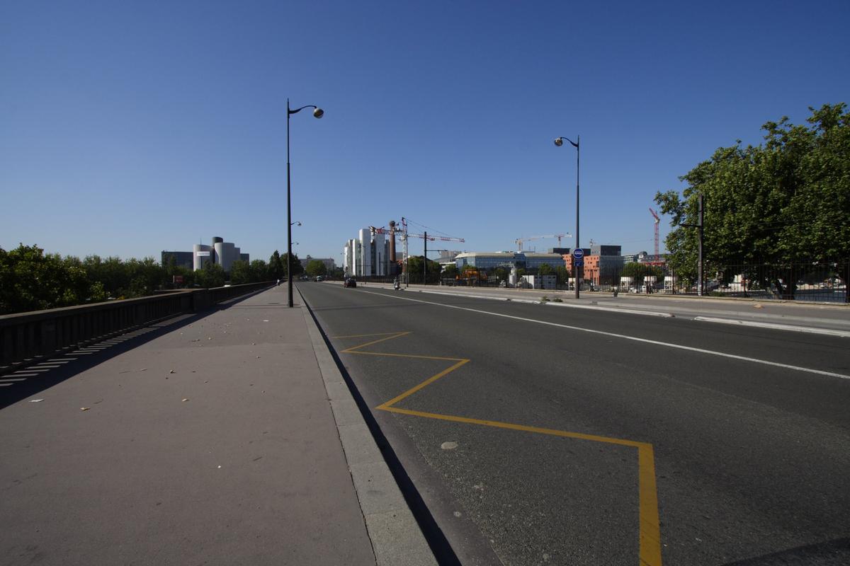
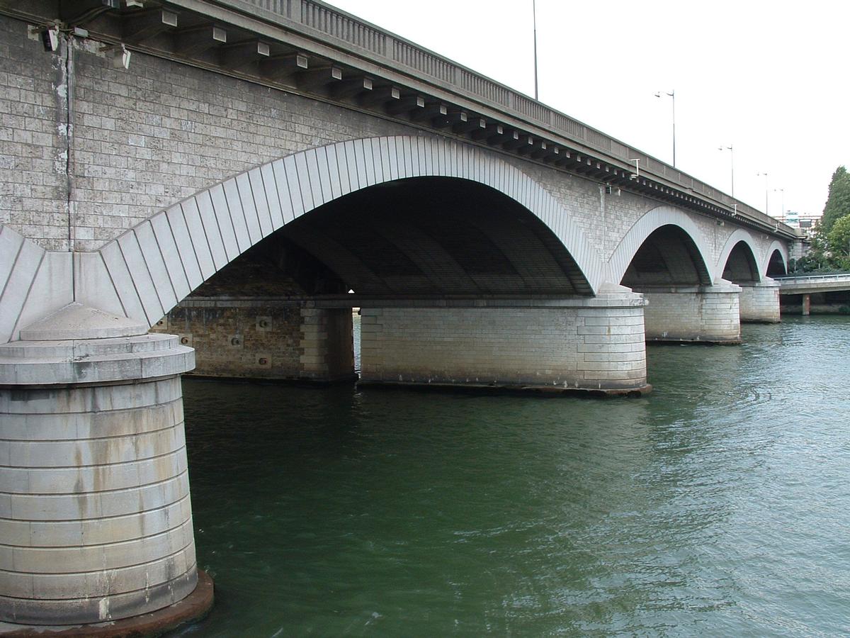
The pont National (named pont Napoléon-III from its construction until 1870) is a road and rail bridge across the Seine in Paris, to the east of the 12th and 13th arrondissements. With a total length of 188.5m, it is made up of 5 masonry arches. Its rail part carries the Petite Ceinture, now disused, and its road part links boulevard Poniatowski to boulevard Masséna. Its nearest Paris Métro stations are Porte de Charenton and Cour Saint-Émilion.
History
It was built between 1852 and 1853 as a railway bridge (to allow the Petite Ceinture line to cross the river) and to link the "enceintes" on the two sides of the river. Its architects were E. Couche, Petit, Gaspard, and Netter. Its width was doubled with an addition on the upstream side in 1936.
Text imported from Wikipedia article "Pont National" and modified on 23 July 2019 under the CC-BY-SA 3.0 license.
Participants
Relevant Web Sites


Relevant Publications
- (1999): Les Ponts de Paris. 1st edition, Action artisique de la ville de Paris, Paris (France), pp. 185.
- About this
data sheet - Structure-ID
20017948 - Published on:
05/10/2005 - Last updated on:
05/06/2017
Structurae cooperates with


