
General Information
Project Type
| Function / usage: |
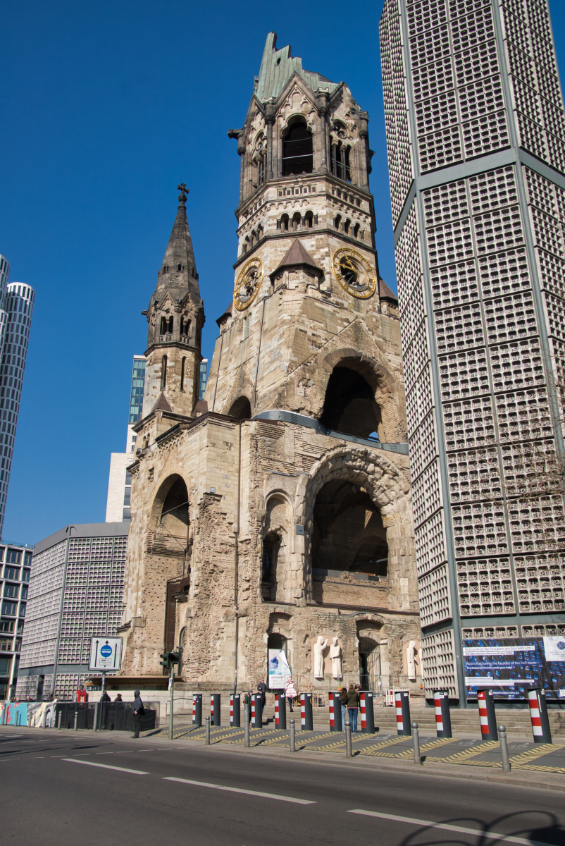
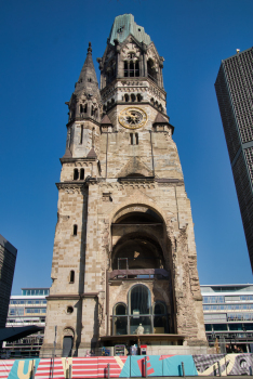
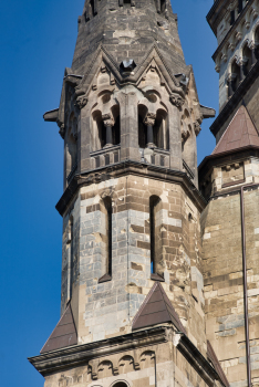
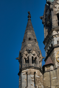
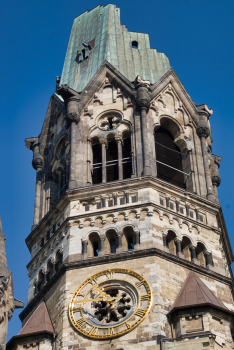
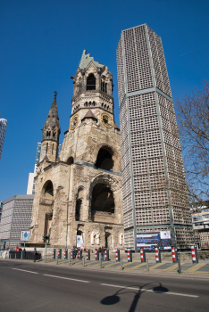
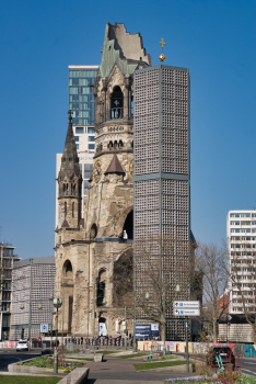
Church |
|---|---|
| Material: |
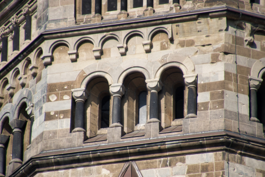
Masonry structure |
Location
| Location: |
Berlin-Charlottenburg, Charlottenburg-Wilmersdorf, Berlin, Germany |
|---|---|
| Address: | Breitscheidplatz |
| Coordinates: | 52° 30' 17.69" N 13° 20' 5.99" E |
Technical Information
There currently is no technical data available.
Chronology
| 1 September 1895 | Opening. |
|---|---|
| November 1943 | Destroyed in air raids. |
| 1987 | The lobby of the church is reopened as a hall of remembrance (Gedenkhalle). |
Participants
Relevant Web Sites


Relevant Publications
- (2006): Architektur und Geschichte in Deutschland. Heike Werner Verlag, Munich (Germany), pp. 144-145.
- (2007): Kaiser-Wilhelm-Gedächtniskirche Berlin - Qualität und Geschichte einer Instandsetzung. In: Bautechnik, v. 84, n. 4 (April 2007), pp. 268-271.
- (1987): Sanierung der Turmruine der Kaiser-Wilhelm-Gedächtniskirche in Berlin. In: Bautechnik, v. 64, n. 9 (September 1987), pp. 307-312.
- About this
data sheet - Structure-ID
20006477 - Published on:
21/10/2002 - Last updated on:
20/03/2022
Structurae cooperates with


