
General Information
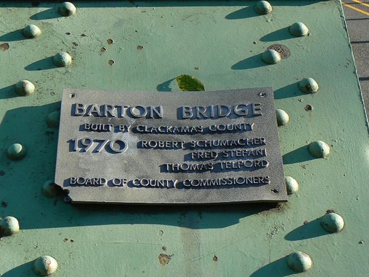
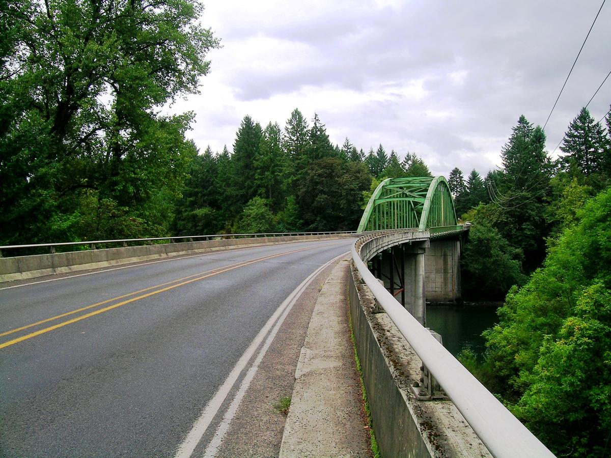
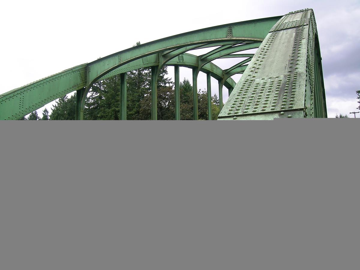
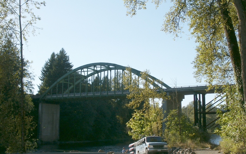
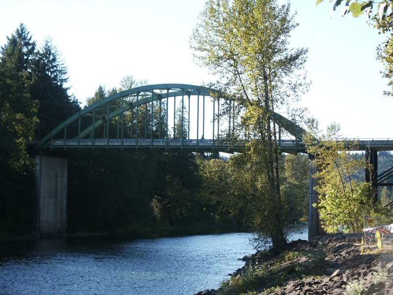
| Other name(s): | Barton Bridge |
|---|---|
| Completion: | 1970 |
| Status: | in use |
Project Type
| Structure: |
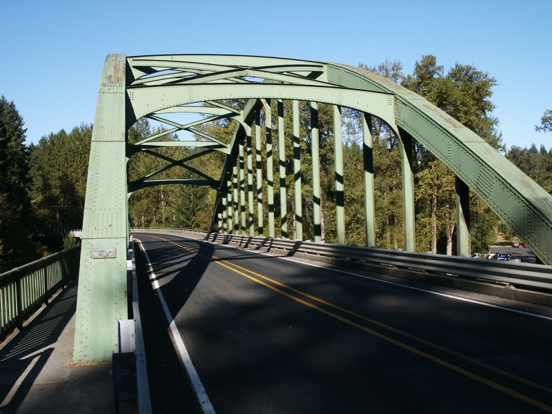
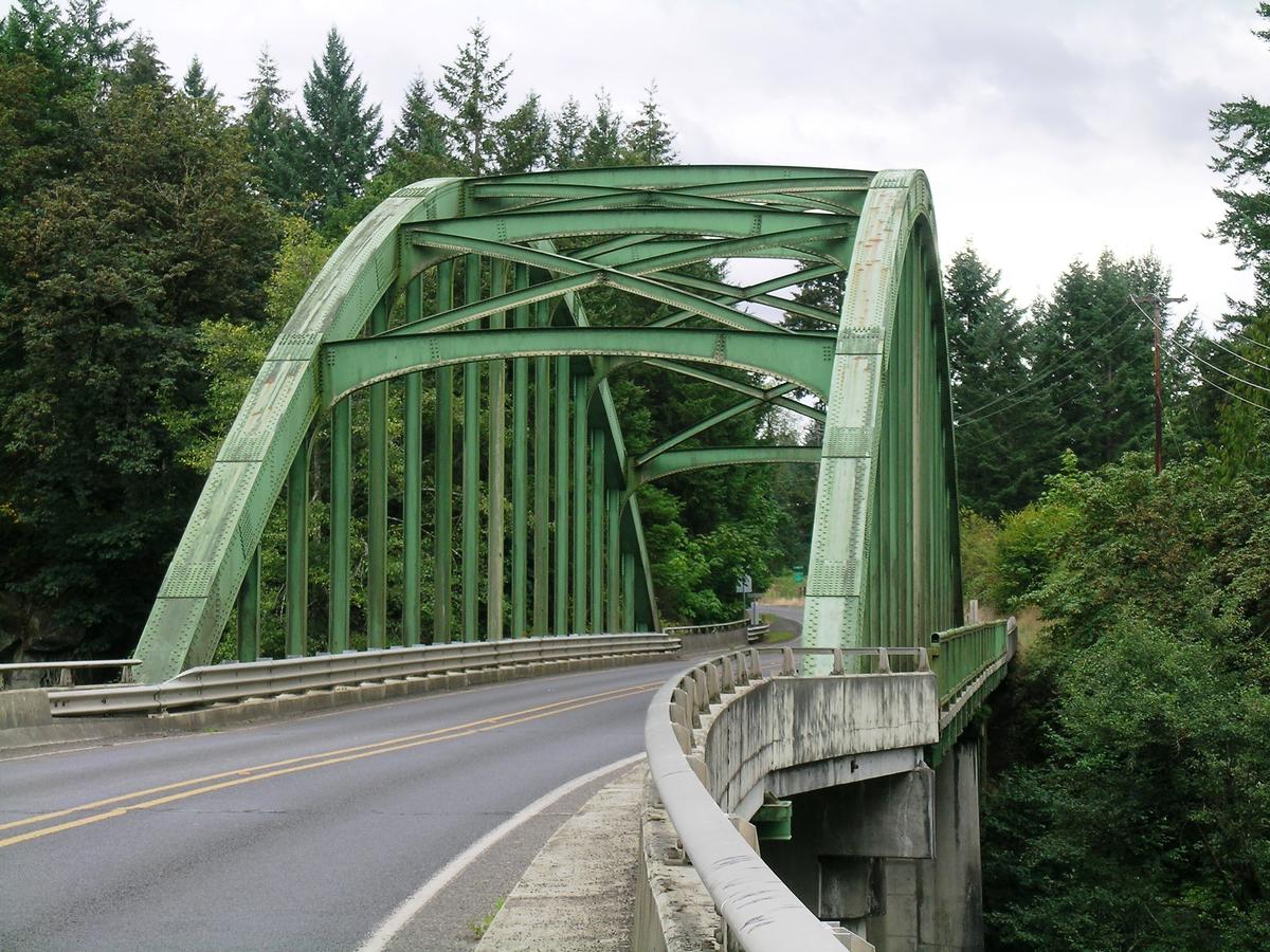
Tied-arch bridge |
|---|---|
| Function / usage: |
Road bridge |
| Material: |
Steel bridge |
Location
| Location: |
Barton, Clackamas County, Oregon, USA |
|---|---|
| Address: | Bakers Ferry Road |
| Crosses: |
|
| Coordinates: | 45° 22' 54.87" N 122° 24' 49.60" W |
Technical Information
Dimensions
| length | 268.2 m | |
| roadway / carriageway width | 7.9 m |
Materials
| arch |
steel
|
|---|---|
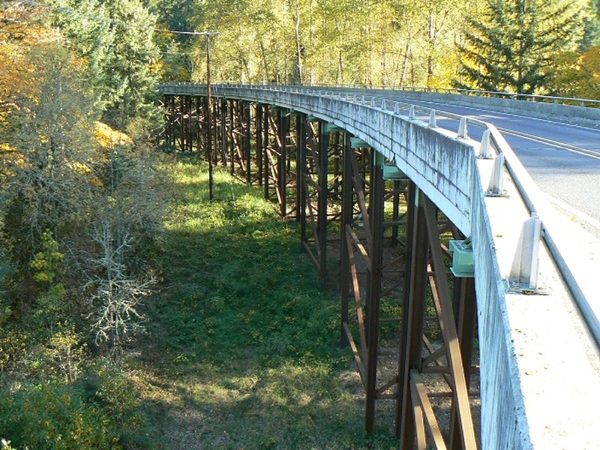
| deck of approach viaducts |
prestressed concrete
|
Chronology
| 1936 | Constructed over Eagle Creek near its confluence with the Columbia River, along with two other spans, 182 ft (55 m) +142 ft (43 m) x 2. |
|---|---|
| 1969 | Removed as part of Interstate 84 improvements. |
| 1970 | Relocated main span across the Clackamas River. |
Participants
Design
- Conde Balcom McCullough (designer)
Relevant Web Sites
There currently are no relevant websites listed.
Relevant Publications
- (2001): Elegant Arches, Soaring Spans. C.B. McCullough Oregon's Master Bridge Builder. Oregon State University Press, Corvallis (USA), pp. 139.
- (1989): Historic Highway Bridges of Oregon. 2nd edition, Oregon Historical Society, Portland (USA), pp. 301 (Appendix G).
- About this
data sheet - Structure-ID
20020040 - Published on:
17/03/2006 - Last updated on:
05/02/2016
Structurae cooperates with


