
General Information
Project Type
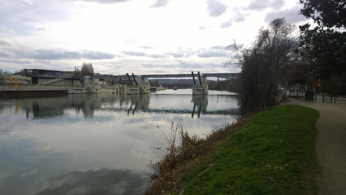
| Function / usage: |
Lock Flood-control dam |
|---|
Location
| Location: |
Chatou, Yvelines (78), Ile-de-France, France |
|---|---|
| Impounded: |
|
| To replace: |
Chatou Dam (1933)
|
| Coordinates: | 48° 53' 41.37" N 2° 9' 51.05" E |
Technical Information
There currently is no technical data available.
Participants
Relevant Web Sites

- About this
data sheet - Structure-ID
20052489 - Published on:
02/02/2010 - Last updated on:
20/09/2022
Structurae cooperates with


