
General Information
| Completion: | 1937 |
|---|---|
| Status: | in use |
Project Type
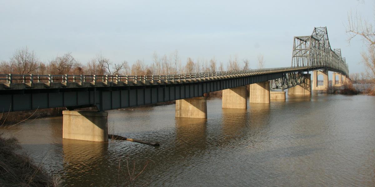
| Structure: |
Cantilever truss bridge Through truss bridge |
|---|---|
| Function / usage: |
Road bridge |
| Material: |
Steel bridge |
Location
| Location: |
Cairo, Alexander County, Illinois, USA |
|---|---|
| Crosses: |
|
| Carries: |
|
| Coordinates: | 36° 59' 36" N 89° 8' 47" W |
Technical Information
Dimensions
| main span | 243.84 m | |
| total length | 1 787.26 m | |
| deck width | 6.19 m |
Materials
| truss |
steel
|
|---|
Excerpt from Wikipedia
The Cairo Ohio River Bridge is a cantilever bridge carrying U.S. Route 51, U.S. Route 60, and U.S. Route 62 across the Ohio River between Wickliffe, Kentucky and Cairo, Illinois. Of all the Ohio River crossings, it is the furthest downstream; the Mississippi River can be seen while crossing the bridge and looking westward.
This is an authorized truck route.
History
Construction was awarded to Modjeski and Masters and the Mt. Vernon Bridge Co. It was finished in 1937 and rehabilitated in 1979. Today the Cairo Ohio River Bridge is eligible for listing on the National Register of Historic Places.
Text imported from Wikipedia article "Cairo Ohio River Bridge"
and modified on 23 July 2019 under the CC-BY-SA 3.0 license.
Participants
Relevant Web Sites

- About this
data sheet - Structure-ID
20009510 - Published on:
27/06/2003 - Last updated on:
05/02/2016
Structurae cooperates with


