
General Information
| Completion: | 4 October 1979 |
|---|---|
| Status: | in use |
Project Type
| Structure: |
Underground structure |
|---|---|
| Function / usage: |
Below grade metro or light-rail station |
Location
| Location: |
Aubervilliers, Seine-Saint-Denis (93), Ile-de-France, France Pantin, Seine-Saint-Denis (93), Ile-de-France, France |
|---|---|
| Part of: | |
| Coordinates: | 48° 54' 14.04" N 2° 23' 33" E |
Technical Information
There currently is no technical data available.
Excerpt from Wikipedia
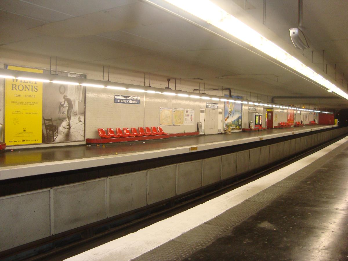
Aubervilliers–Pantin–Quatre Chemins (French pronunciation: [obɛʁvilje pɑ̃tɛ̃ katʁ(ə) ʃəmɛ̃]) is a station of the Paris Métro. It is at the crossroads of the Roman road that led from Lutetia to east Flanders (now the N2) and the road between the communes of Aubervilliers and Pantin.
History
Aubervilliers–Pantin–Quatre Chemins opened on 4 October 1979 as part of an extension from Porte de la Villette to Fort d'Aubervilliers.
In 2019, the station was used by 7,215,915 passengers, making it the 37th busiest of the Métro network, out of 302 stations.
In 2020, the station was used by 4,131,018 passengers amidst the COVID-19 pandemic, making it the 27th busiest of the Métro network, out of 305 stations.
Passenger services
Access
The station has 5 entrances along avenue de la République and avenue Jean-Jaurès.
Platforms
The station has a standard configuration with 2 tracks surrounded by 2 side platforms.
Text imported from Wikipedia article "Aubervilliers–Pantin–Quatre Chemins (Paris Métro)" and modified on 21 February 2022 according to the CC-BY-SA 3.0 license.
Participants
Currently there is no information available about persons or companies having participated in this project.
Relevant Web Sites

- About this
data sheet - Structure-ID
20051466 - Published on:
08/01/2010 - Last updated on:
25/01/2022
Structurae cooperates with


