
General Information
| Completion: | 21 September 1884 |
|---|---|
| Status: | in use |
Project Type
| Structure: |
Tunnel |
|---|---|
| Function / usage: |
Railroad (railway) tunnel |
Location
| Location: |
Sankt Anton am Arlberg, Tyrol, Austria Klösterle, Vorarlberg, Austria |
|---|---|
| Coordinates: | 47° 7' 52.18" N 10° 7' 31.22" E |
| Coordinates: | 47° 7' 36.18" N 10° 15' 57.15" E |
Technical Information
Dimensions
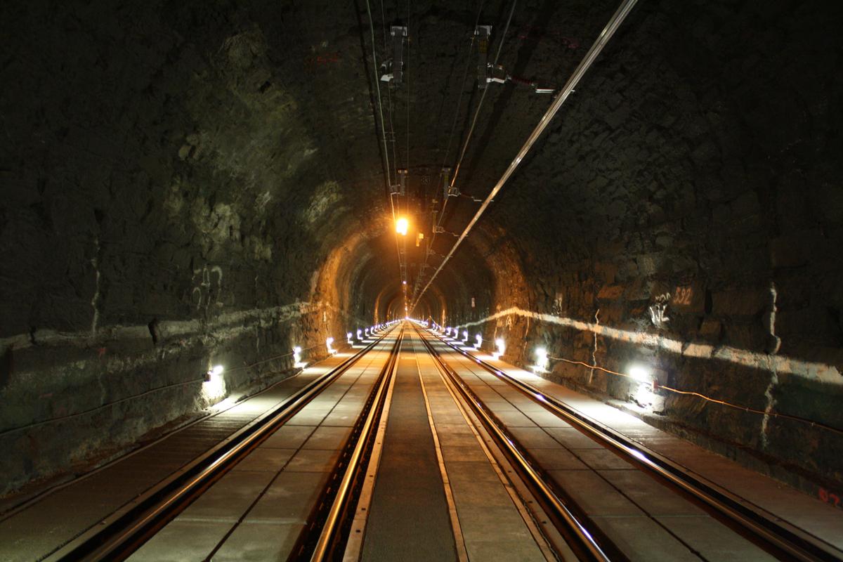
| tunnel length | 10 249 m |
Excerpt from Wikipedia
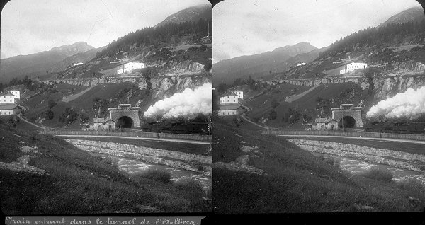
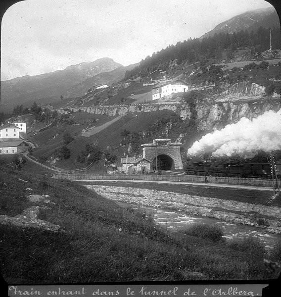
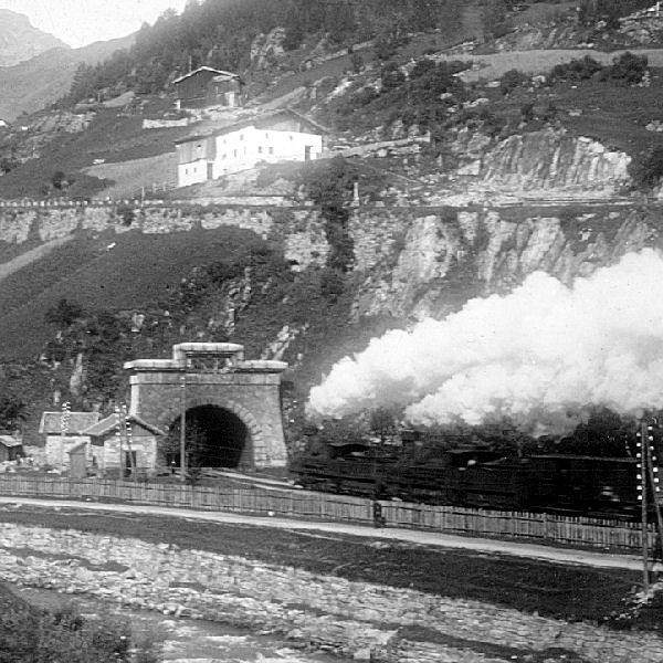
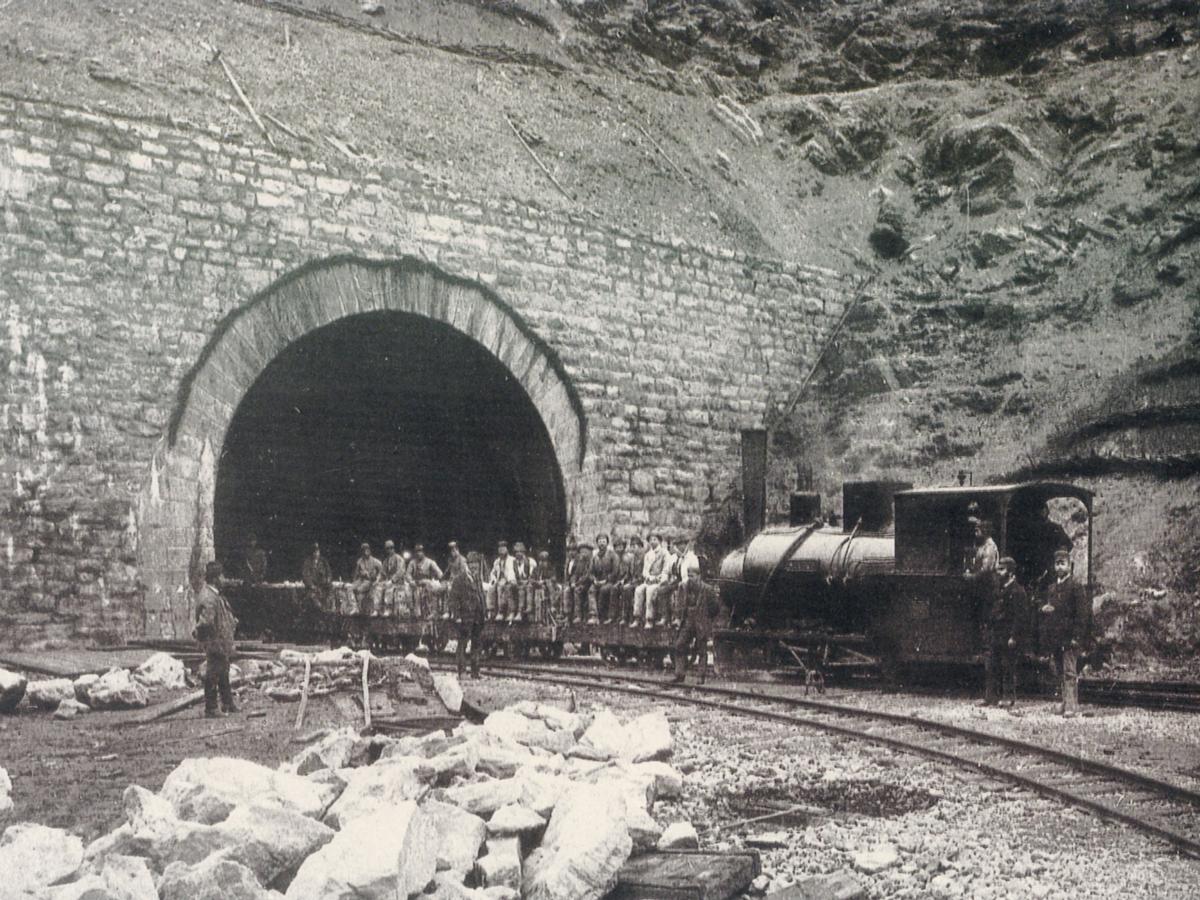
The Arlberg Railway Tunnel (German:Arlbergtunnel) with a length of 10.6 kilometres (6.6 mi) is the central part of the Arlberg railway in western Austria between the federal states Tyrol and Vorarlberg. The tunnel runs through the Arlberg massif at the northeastern end of the Rhaetian Alps.
It opened on December 21, 1884 as a single-track tunnel. The traffic through the tunnel grew so quickly, that a second track was opened by July 15, 1885. It starts kilometre 99.5 in the station of St. Anton am Arlberg and ends in Langen am Arlberg.
Text imported from Wikipedia article "Arlberg Railway Tunnel"
and modified on 23 July 2019 under the CC-BY-SA 3.0 license.
Participants
(role unknown)
Relevant Web Sites


Relevant Publications
- Avancement des travaux au tunnel de l'Arlberg. In: Bulletin de la Société vaudoise des ingénieurs et des architectes, v. 8, n. 3 (September 1882).
- (1890): Les grandes entreprises modernes. Alfred Mame et Fils, éditeurs, Tours (France), pp. 173-186.
- (1882): Note sur le chemin de fer de l'Arlberg et en particulier sur le grand tunnel de ce nom. In: Bulletin de la Société vaudoise des ingénieurs et des architectes, v. 8, n. 1 (March 1882).
- (1881): Note sur le chemin de fer de l'Arlberg et en particulier sur le grand tunnel de ce nom. In: Bulletin de la Société vaudoise des ingénieurs et des architectes, v. 7, n. 4 (December 1881).
- (2008): Rettung im Arlbergtunnel. In: TEC21, v. 134, n. 21 (19 May 2008).
- About this
data sheet - Structure-ID
20007179 - Published on:
09/12/2002 - Last updated on:
28/05/2021
Structurae cooperates with


