
General Information
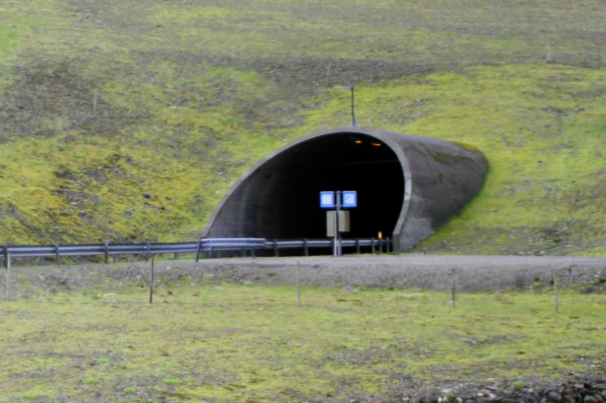
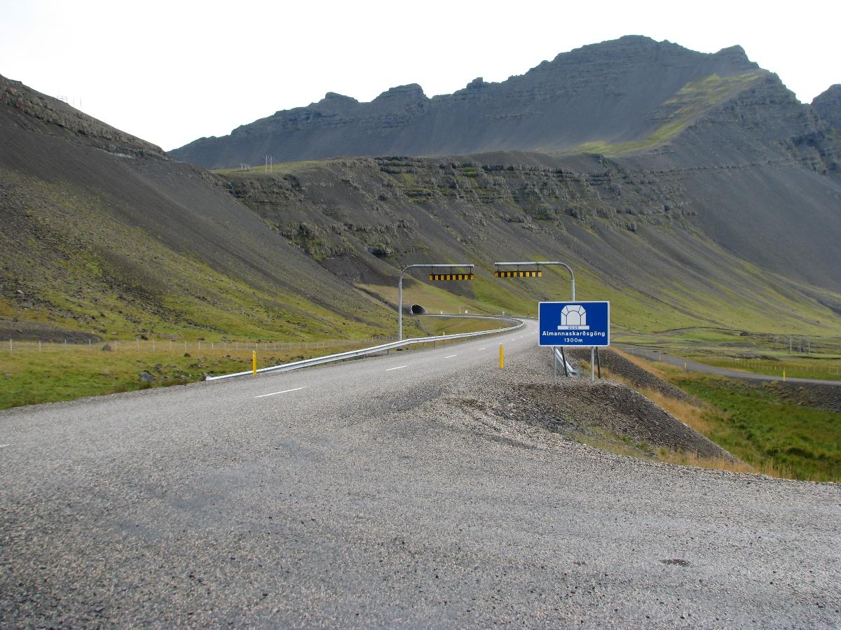
| Other name(s): | Almannaskarðsgöng |
|---|---|
| Beginning of works: | March 2004 |
| Completion: | 24 June 2005 |
| Status: | in use |
Project Type
| Structure: |
Tunnel |
|---|---|
| Function / usage: |
Road tunnel |
Location
| Location: |
Höfn, Eastern Region, Iceland |
|---|---|
| Coordinates: | 64° 17' 30.67" N 15° 1' 40.64" W |
| Coordinates: | 64° 16' 57.76" N 15° 2' 23.01" W |
Technical Information
Dimensions
| tunnel length | 1 308 m | |
| number of lanes | 2 x 1 | |
| number of tubes | 1 |
Participants
Currently there is no information available about persons or companies having participated in this project.
Relevant Web Sites
There currently are no relevant websites listed.
- About this
data sheet - Structure-ID
20041656 - Published on:
25/12/2008 - Last updated on:
13/08/2023
Structurae cooperates with


