
General Information
Project Type
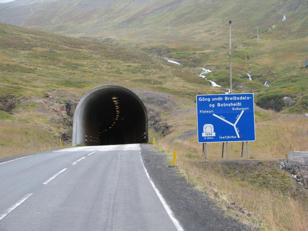
| Structure: |
Tunnel |
|---|---|
| Function / usage: |
Road tunnel |
Location
| Location: |
Westfjords, Iceland |
|---|---|
| Coordinates: | 66° 4' 22.61" N 23° 19' 20.66" W |
| Coordinates: | 66° 1' 39.11" N 23° 20' 49.04" W |
| Coordinates: | 66° 3' 22.59" N 23° 13' 52.44" W |
Technical Information
Dimensions
| tunnel length | 9 113 m |
Chronology
| September 1996 | Opening. |
|---|
Participants
Relevant Web Sites

- About this
data sheet - Structure-ID
20011258 - Published on:
03/01/2004 - Last updated on:
05/05/2021
Structurae cooperates with


