
General Information
| Other name(s): | Tunnel del Col di Tenda - Tunnel routier du col de Tende |
|---|---|
| Completion: | 1882 |
| Status: | in use |
Project Type
| Function / usage: |
Road tunnel |
|---|---|
| Structure: |
Tunnel |
Location
| Location: |
Tende, Alpes-Maritimes (06), Provence-Alpes-Côte d'Azur, France Limone Piemonte, Cuneo, Piedmont, Italy |
|---|---|
| Address: | SS20-D6204 |
| Coordinates: | 44° 8' 20.65" N 7° 34' 13.65" E |
| Coordinates: | 44° 10' 4.18" N 7° 34' 17.05" E |
Technical Information
Dimensions
| length | 3 182 m |
Excerpt from Wikipedia
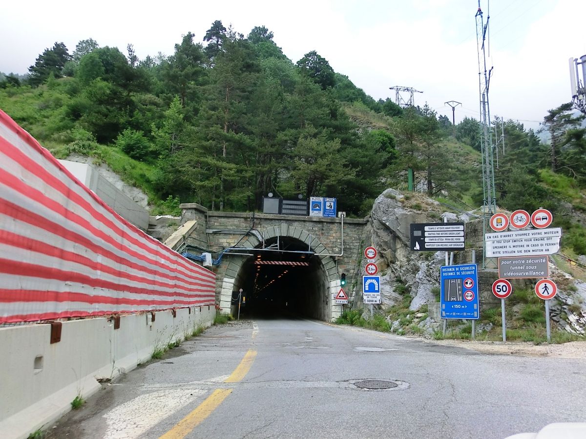
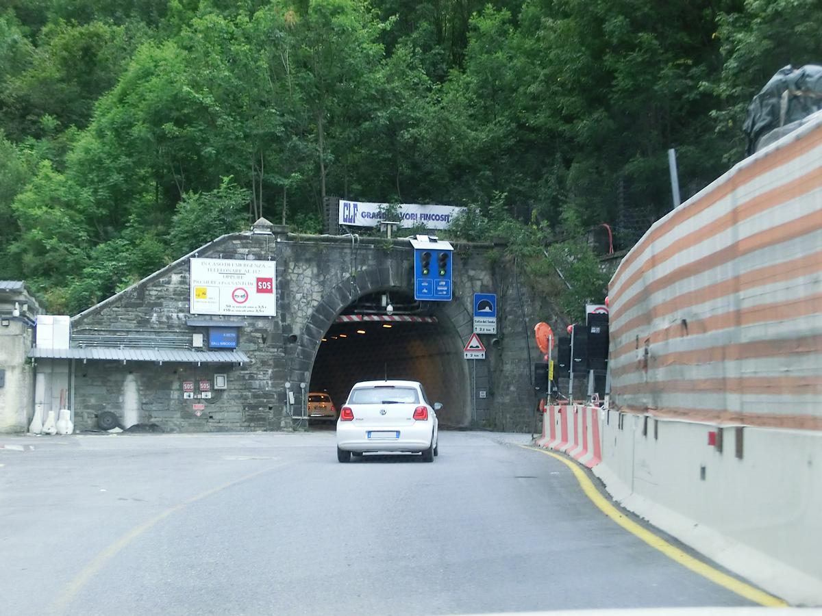
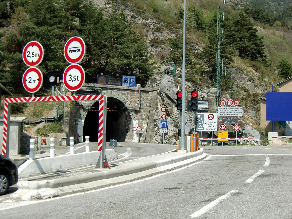
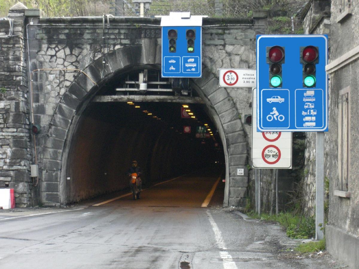
Col de Tende Road Tunnel is a 3182 metre long road tunnel running under Col de Tende between France and Italy. It was inaugurated in 1882 and it was until 1964 the longest road tunnel in the Alps. At its opening time it was the world's longest road tunnel. Altitude on the French side: 1,280 m; Italian side: 1,321 m.
It currently operates with alternate traffic but a new tunnel is being built.
Text imported from Wikipedia article "Col de Tende Road Tunnel" and modified on February 11, 2021 according to the CC-BY-SA 4.0 International license.
Participants
Currently there is no information available about persons or companies having participated in this project.
Relevant Web Sites


- About this
data sheet - Structure-ID
20021716 - Published on:
20/05/2006 - Last updated on:
28/05/2021
Structurae cooperates with


