
General Information
Project Type
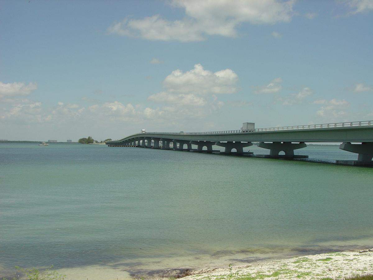
| Structure: |
Girder bridge |
|---|---|
| Function / usage: |
Road bridge |
Location
| Location: |
Sanibel, Lee County, Florida, USA Punta Rassa, Lee County, Florida, USA |
|---|---|
| Connects to: |
Sanibel Causeway Bridge (B) (2007)
|
| Coordinates: | 26° 27' 30.21" N 82° 2' 2.97" W |
Technical Information
There currently is no technical data available.
Participants
Design

Contractor
Construction management

Relevant Web Sites

Relevant Publications
- (2006): Highs and lows. In: Bridge Design & Engineering, v. 12, n. 42 (1st Quarter 2006), pp. 26-27.
- About this
data sheet - Structure-ID
20019990 - Published on:
13/03/2006 - Last updated on:
05/02/2016
Structurae cooperates with


