
General Information
| Other name(s): | Sint-Katelijne Metro Station |
|---|---|
| Completion: | 13 April 1977 |
| Status: | in use |
Project Type
| Function / usage: |
Below grade metro or light-rail station |
|---|---|
| Structure: |
Underground structure |
Location
| Location: |
Brussels, Brussels-Capital, Belgium |
|---|---|
| Address: | Sint-Katelijneplein = Place Sainte-Catherine |
| Part of: | |
| Coordinates: | 50° 51' 8" N 4° 20' 52" E |
Technical Information
Dimensions
| number of tracks | 2 | |
| platform | number | 2 |
Excerpt from Wikipedia
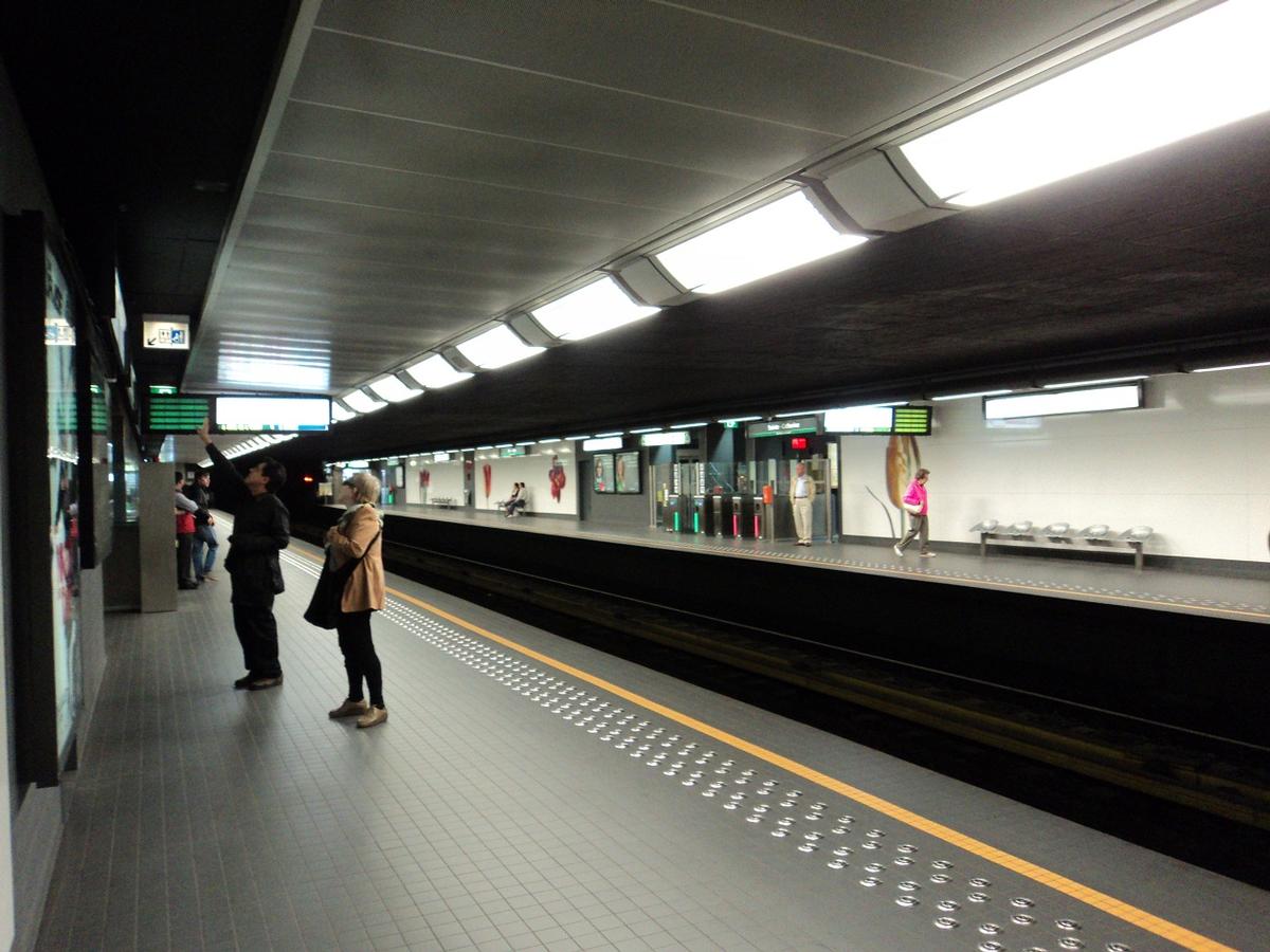
Sainte-Catherine/Sint-Katelijne is a Brussels Metro station. It is located between the "Quai aux Briques/Baksteenkaai" and the "Quai du Bois à Brûler/Brandhoutkaai," near the Church of St. Catherine, which gives the station its name. The station was inaugurated when the first Brussels Metro line was converted from "premetro" (operated with trams) to "heavy" metro. It is currently served by lines 1 and 5, which use the same tracks at this point.
History
The station was opened on 13 April 1977 – a short extension from the neighbouring De Brouckère station. Until 1981 (with the opening of the extension to Beekkant), the station was the western terminus of the metro.
The station is unique in Brussels for being located in the reclaimed and covered space of an old harbor dock. Because of this, the metro tunnel runs very shallow at this point, making the station one of the few in Brussels that lack an underground mezzanine. Entrances and exits from the station lead up into the middle of the St. Catherine square.
In late 2006 and in 2007, the underground station underwent a thorough renovation, giving it a more modern look both under and above ground.
Text imported from Wikipedia article "Sint-Katelijne metro station" and modified on July 23, 2019 according to the CC-BY-SA 4.0 International license.
Participants
Relevant Web Sites

Relevant Publications
- : Renovatie van het metrostation Sint-Katelijne = Rénovation de la station de métro Sainte-Catherine. In: staal_acier, n. 17, pp. 42-47.
- About this
data sheet - Structure-ID
20053151 - Published on:
14/02/2010 - Last updated on:
06/10/2024


