

General Information
| Name in local language: | Pont de Saint-Nicolas-de-Campagnac |
|---|---|
| Beginning of works: | 1245 |
| Completion: | 1260 |
| Status: | in use |
Project Type
| Structure: |
Pointed arch bridge |
|---|---|
| Function / usage: |
Road bridge |
| Material: |
Masonry bridge Structurae Plus/Pro - Subscribe Now! |
| Plan view: |
Structurae Plus/Pro - Subscribe Now! |
Location
| Location: |
Sainte-Anastasie, Gard (30), Occitanie, France |
|---|---|
| Crosses: |
|
| Coordinates: | 43° 56' 30.29" N 4° 22' 38.38" E |
Technical Information
Dimensions
| total length | 120 m |
Excerpt from Wikipedia
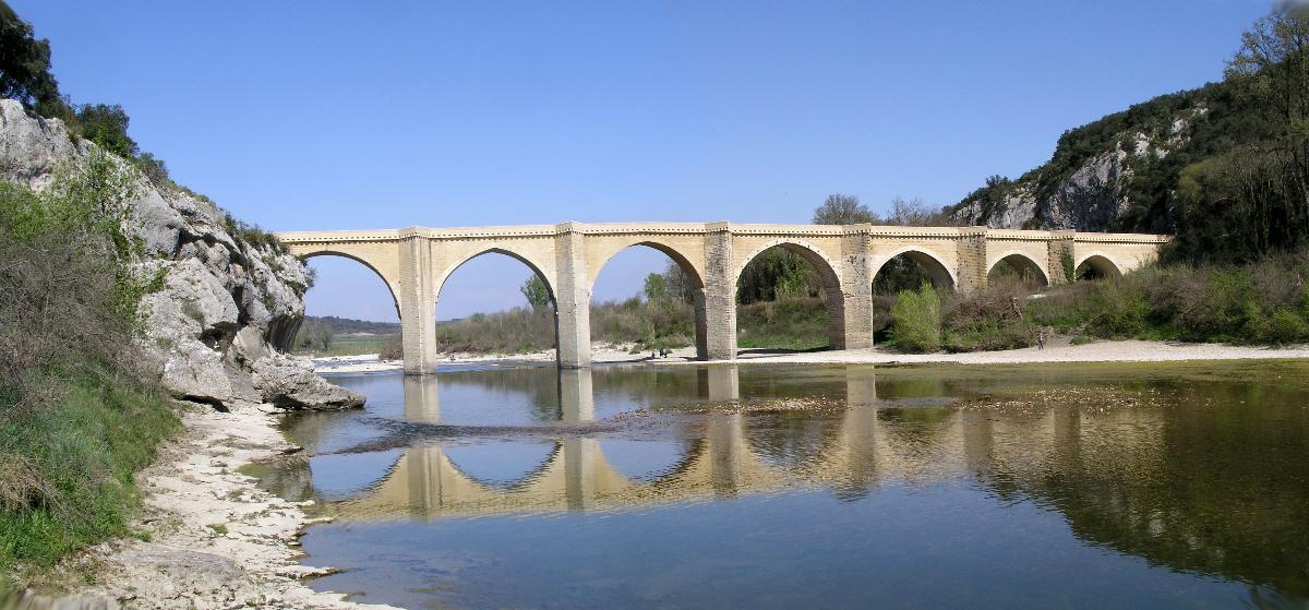
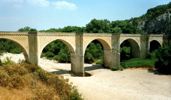
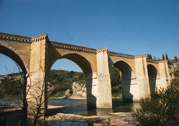
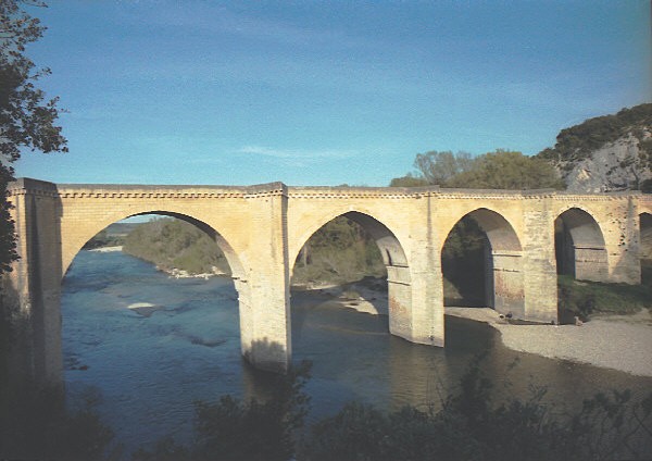
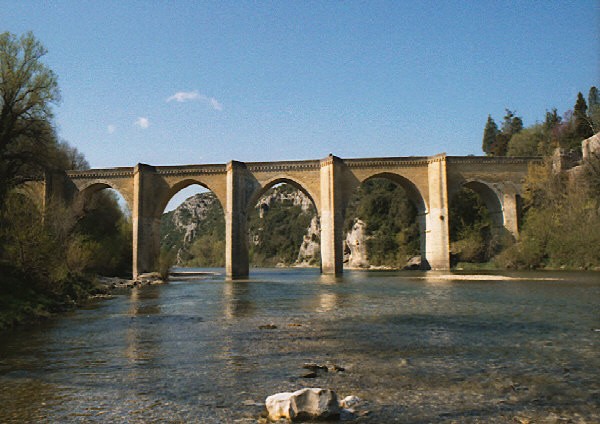
The Saint-Nicolas-de-Campagnac Bridge (French Pont Saint-Nicolas-de-Campagnac) is an arch bridge crossing the river Gardon near Sainte-Anastasie, in the southern French department of Gard.
The bridge was built between 1245 and 1260.
It is crossed by departmental route 979 ((D 979) from Nîmes to Uzès.
Text imported from Wikipedia article "Saint-Nicolas-de-Campagnac Bridge"
and modified on 11 October 2022 according to the CC-BY-SA 3.0 license.
Participants
Relevant Web Sites

Relevant Publications
- (2003): France rebuilds damaged road bridges. In: Bridge Design & Engineering, v. 9, n. 30 (1st Quarter 2003), pp. 10.
- About this
data sheet - Structure-ID
20009225 - Published on:
05/05/2003 - Last updated on:
12/09/2022
Structurae cooperates with


