
General Information
| Completion: | 1980s |
|---|---|
| Status: | in use |
Project Type
| Structure: |
Girder bridge |
|---|---|
| Function / usage: |
Road bridge |
| Material: |
Prestressed concrete bridge |
Location
| Location: |
Nepal |
|---|---|
| Coordinates: | 27° 41' 58.15" N 84° 25' 8.51" E |
Technical Information
Dimensions
| total length | 420 m |
Excerpt from Wikipedia
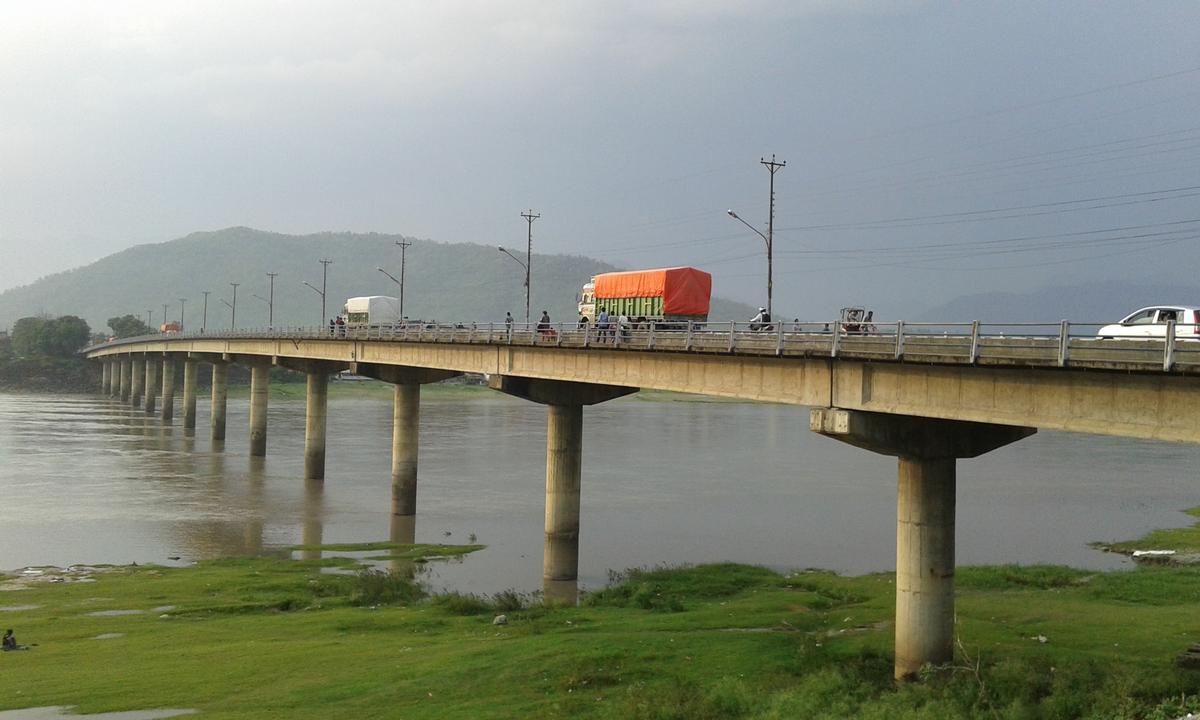
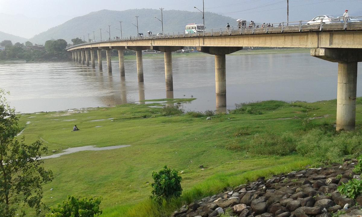
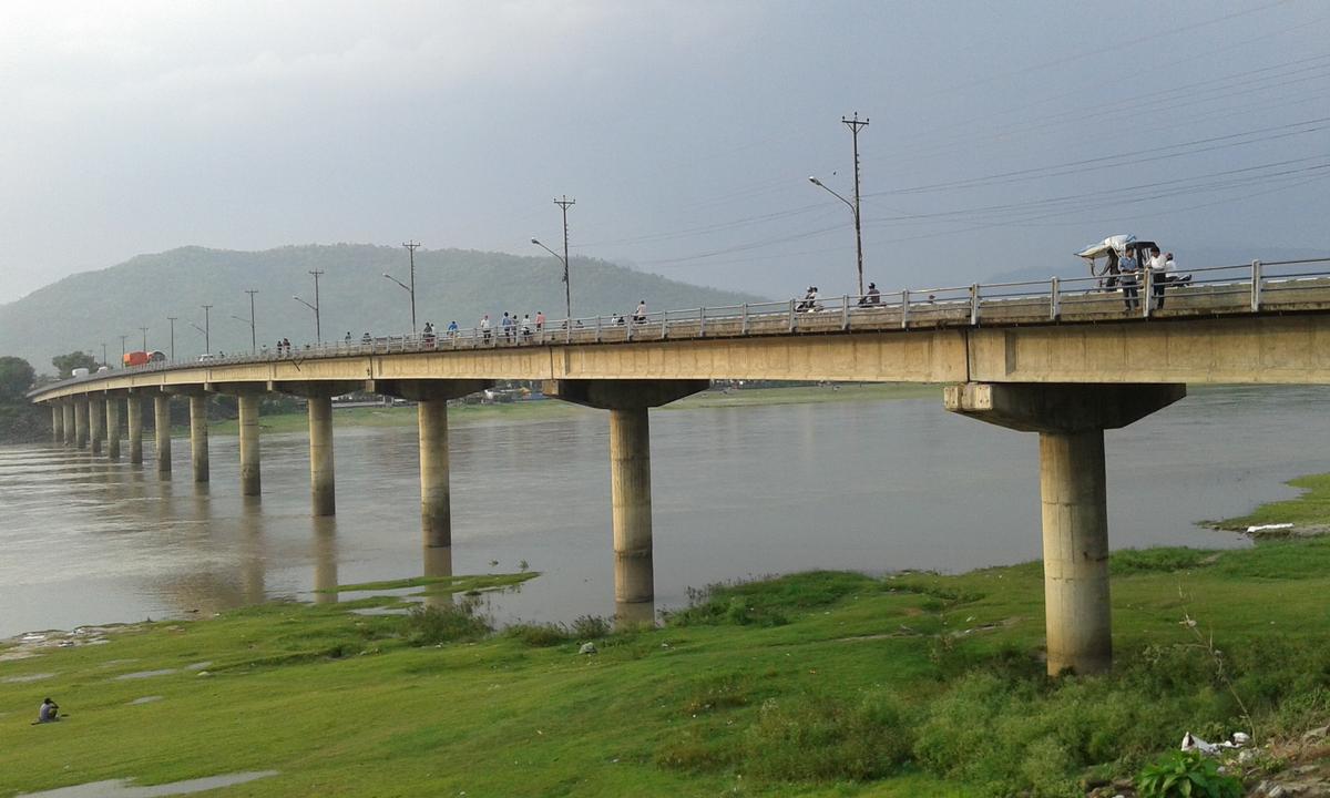
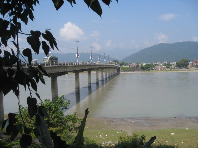
Narayani Bridge (Nepali: नारायणी पुल) is a bridge on the East-West (Mahendra highway) of Nepal located in the central region of Nepal. The bridge connects Gaindakot municipality of Nawalparasi District on the western region of Nepal, with Narayanghat (Bharatpur, Nepal) city on the central development region. Built in the early 1980s, the bridge over the Narayani River is about 420 m (1,380 ft) long and is considered one of the important commercial life lines of the country. It has 15 large and round shaped pillars.
Text imported from Wikipedia article "Narayani Bridge" and modified on 10 November 2020 according to the CC-BY-SA 3.0 license.
Participants
Currently there is no information available about persons or companies having participated in this project.
Relevant Web Sites

- About this
data sheet - Structure-ID
20070609 - Published on:
01/02/2016 - Last updated on:
05/02/2016
Structurae cooperates with


