
General Information
| Beginning of works: | 19th century |
|---|---|
| Status: | in use |
Project Type
| Structure: |
Girder bridge |
|---|---|
| Function / usage: |
Road bridge |
Location
| Location: |
Oxford, Oxfordshire, South East England, England, United Kingdom |
|---|---|
| Crosses: |
|
| Coordinates: | 51° 45' 12.60" N 1° 15' 54" W |
Technical Information
Dimensions
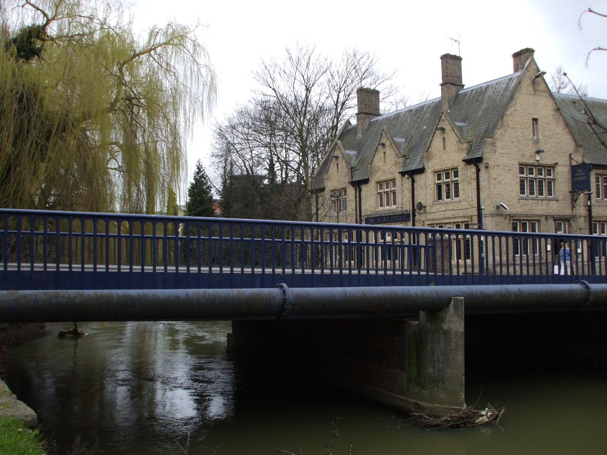
| span | 2 x 7.8 m |
Materials
| beams |
cast iron
|
|---|
Excerpt from Wikipedia
Hythe Bridge (formerly known as High Bridge) is a Victorian flat cast iron beamed bridge on Hythe Bridge Street in the west of central Oxford, England. It spans the Castle Mill Stream, a backwater of the River Thames. Hythe Bridge forms part of the main arterial route west of Oxford. It lies on the A4144, which continues west as the Botley Road (A420).
The first bridge here, probably of wooden construction, was built by Oseney Abbey in 1200–10. A stone bridge was built in 1383. It was a round-arched bridge with three arches. The current iron bridge was designed by John Galpin, an Oxford-based engineer, in 1861. The name "Hythe" is derived from the "hithe" (wharf) that used to be located by the bridge. "Hithe" is a Saxon word that means a landing place.
Immediately to the northeast of Hythe Bridge is the current southern end of the Oxford Canal. This used to continue south of Hythe Bridge Street to a basin with wharves that in 1951 was filled in and is now a car park and part of Nuffield College.
Text imported from Wikipedia article "Hythe Bridge"
and modified on 23 July 2019 under the CC-BY-SA 3.0 license.
Participants
Relevant Web Sites

- About this
data sheet - Structure-ID
20007804 - Published on:
13/01/2003 - Last updated on:
30/12/2019
Structurae cooperates with


