
General Information
| Completion: | 1576 |
|---|---|
| Status: | in use |
Project Type
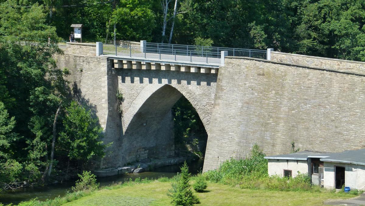
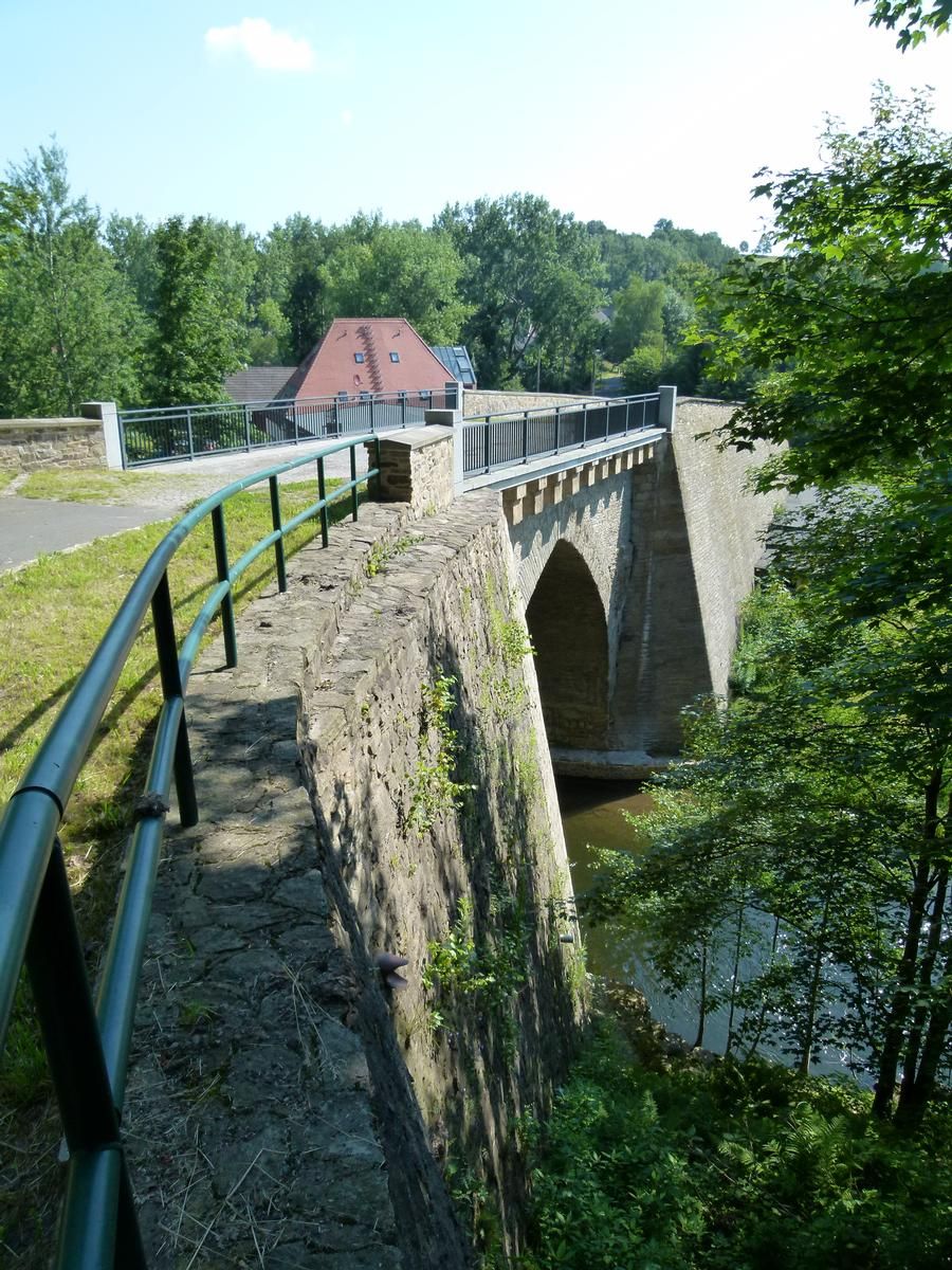
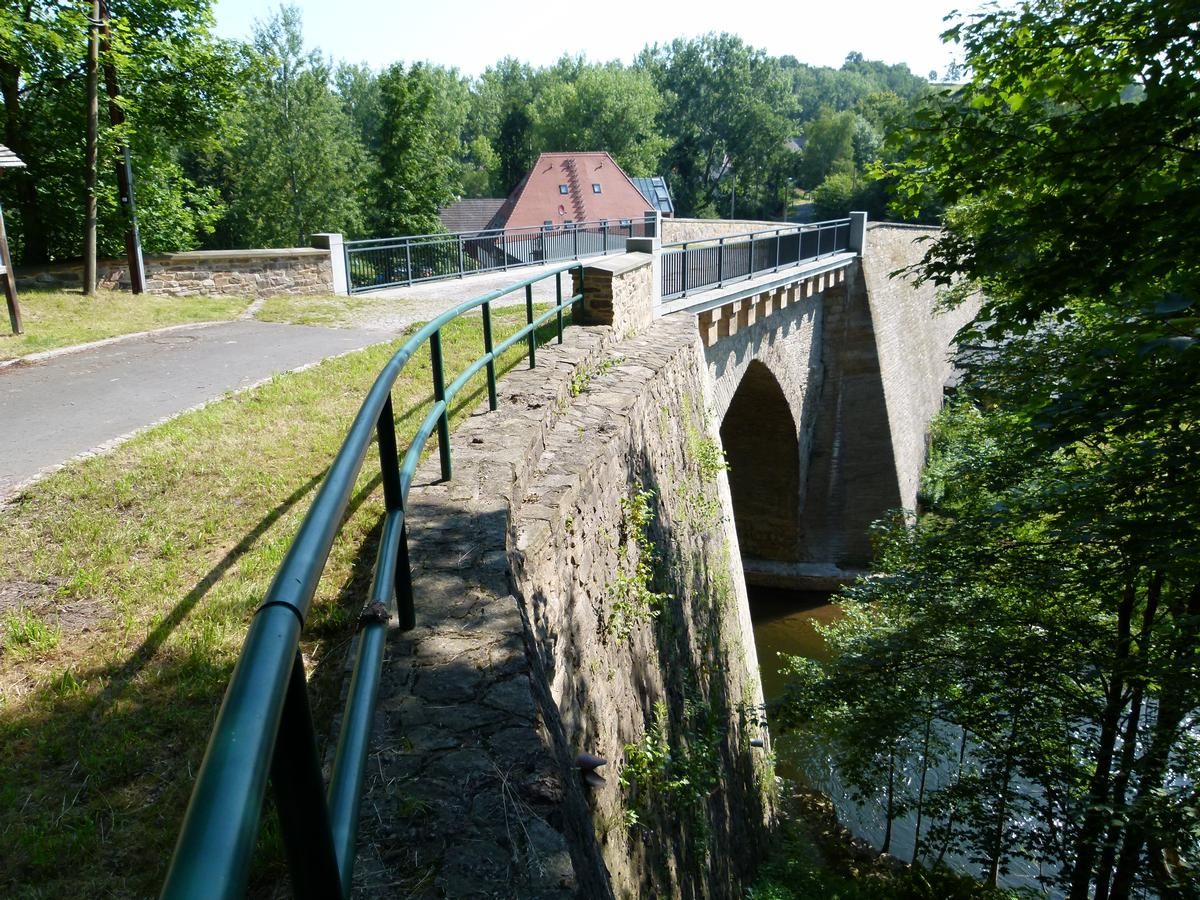
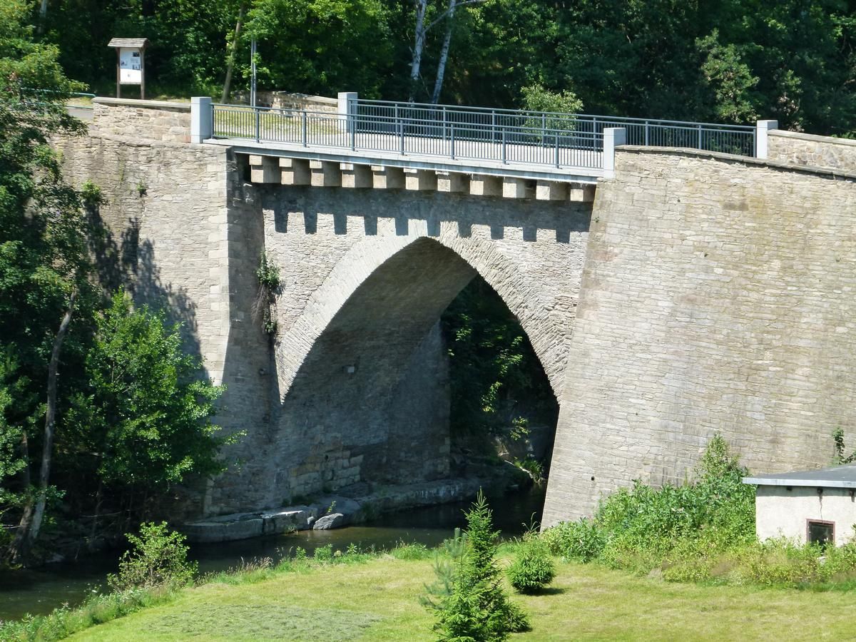
| Structure: |
Pointed arch bridge |
|---|---|
| Function / usage: |
Road bridge |
| Material: |
Masonry bridge |
Location
| Location: |
Freiberg, Mittelsachsen, Saxony, Germany |
|---|---|
| Crosses: |
|
| Coordinates: | 50° 55' 7.83" N 13° 22' 24.09" E |
Technical Information
Dimensions
| width | 7.30 m | |
| clearance | 10 m | |
| arch span | 13.80 m |
Materials
| arch |
stone
|
|---|
Notes
Construction is estimated to have taken place somewhere between 1550 and 1576.
Participants
Currently there is no information available about persons or companies having participated in this project.
Relevant Web Sites
There currently are no relevant websites listed.
Relevant Publications
- Steinbrücken in Deutschland. 2. Berlin, Brandenburg, Mecklenburg-Vorpommern, Sachsen-Anhalt, Sachsen, Thüringen. Verlag Bau und Technik, Düsseldorf (Germany), 1999, pp. 214-216.
- About this
data sheet - Structure-ID
20001692 - Published on:
10/08/2001 - Last updated on:
28/05/2021
Structurae cooperates with


