
General Information
| Completion: | 1914 |
|---|---|
| Status: | in use |
Project Type
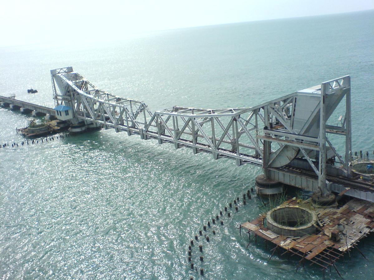
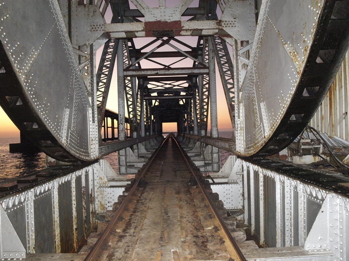
| Structure: |
Double-leaf bascule bridge |
|---|---|
| Function / usage: |
Railroad (railway) bridge |
Location
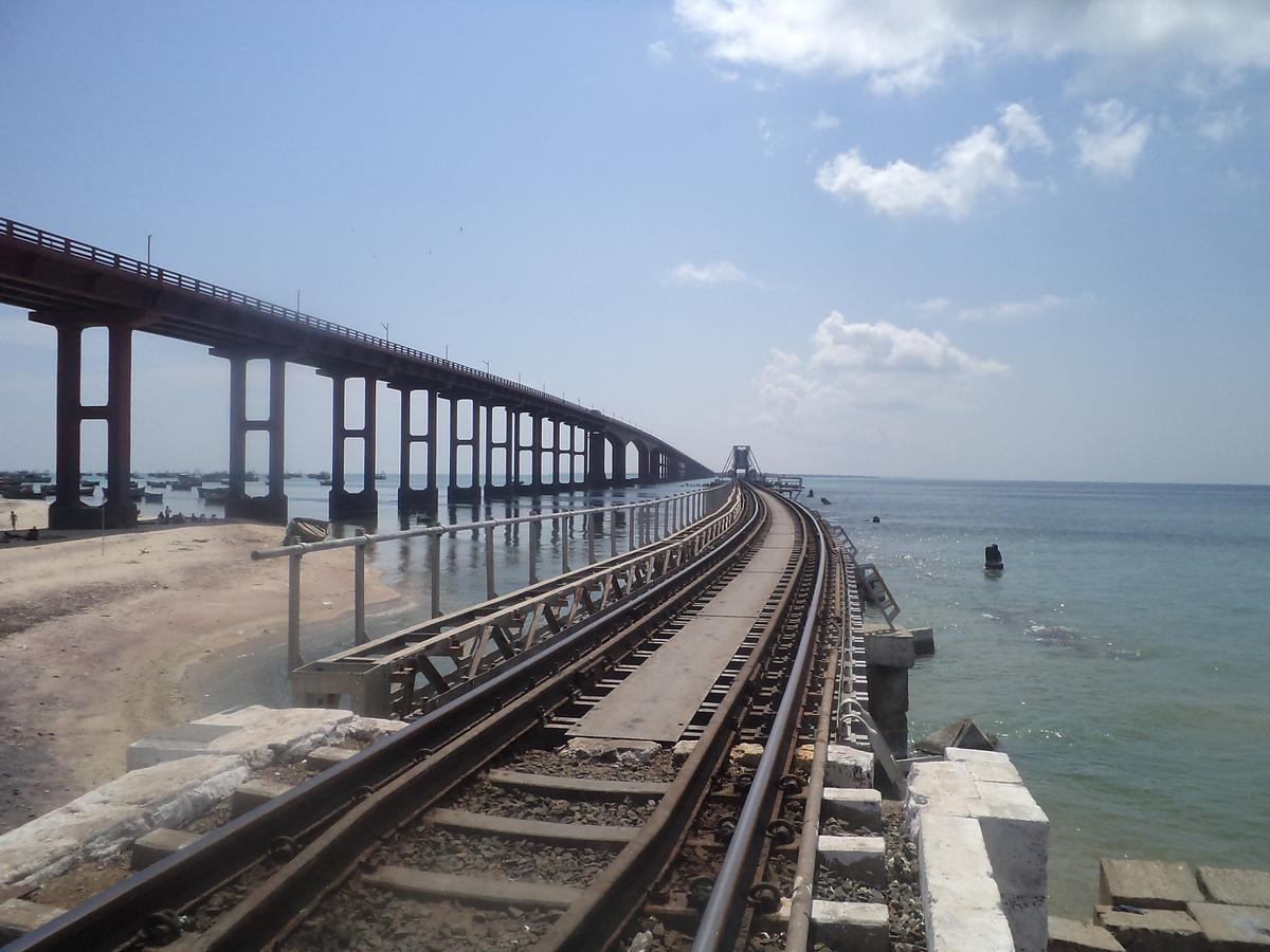
| Location: |
Mandapam, Tamil Nadu, India Rameswaram, Tamil Nadu, India |
|---|---|
| Next to: |
Pamban Road Bridge (1988)
|
| Coordinates: | 9° 16' 58.68" N 79° 12' 34.78" E |
| Coordinates: | 9° 16' 58.30" N 79° 11' 27.34" E |
Technical Information
Dimensions
| total length | 2 065 m |
Chronology
| 13 January 2013 | A naval barge adrift in bad weather floats onto the approach span near the Pamban Island abutment and hits the bridge deck. The damage seems to be minor as the deck remains in place. |
|---|
Participants
Currently there is no information available about persons or companies having participated in this project.
Relevant Web Sites
There currently are no relevant websites listed.
- About this
data sheet - Structure-ID
20065916 - Published on:
28/01/2014 - Last updated on:
05/02/2016
Structurae cooperates with


