
General Information
| Completion: | 5 November 1910 |
|---|---|
| Status: | in use |
Project Type
| Structure: |
Underground structure |
|---|---|
| Function / usage: |
Below grade metro or light-rail station |
Location
| Location: |
Paris (19th), Paris, Ile-de-France, France |
|---|---|
| Part of: | |
| Coordinates: | 48° 53' 39.48" N 2° 22' 54.30" E |
Technical Information
There currently is no technical data available.
Excerpt from Wikipedia
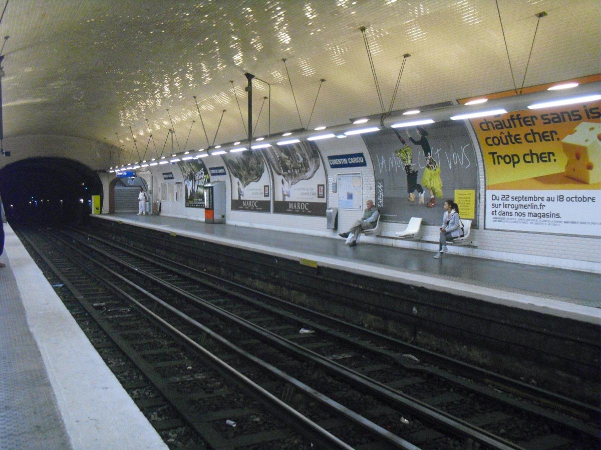
Corentin Cariou is a station of the Paris Métro. The station was called Pont de Flandre until 1946, after a bridge which spans the Canal de Saint-Denis carrying the Rue de Flandre, the main street of the commune of La Villette, to the Porte de La Villette.
It is named after Corentin Cariou (1898–1942), who was a member of the municipal council of the 19th arrondissement and shot by the Nazis as a hostage during World War II.
Text imported from Wikipedia article "Corentin Cariou (Paris Métro)"
and modified on 23 July 2019 under the CC-BY-SA 3.0 license.
Participants
Currently there is no information available about persons or companies having participated in this project.
Relevant Web Sites

- About this
data sheet - Structure-ID
20051515 - Published on:
08/01/2010 - Last updated on:
25/01/2022
Structurae cooperates with


