
General Information
| Completion: | 8 November 1962 |
|---|---|
| Status: | in use |
Project Type
| Structure: |
Truss arch bridge Through arch bridge |
|---|---|
| Support conditions: |
for registered users |
| Secondary structure(s): |
Structurae Plus/Pro - Subscribe Now! |
| Function / usage: |
Motorway bridge / freeway bridge |
| Material: |
Steel bridge Structurae Plus/Pro - Subscribe Now! |
| Plan view: |
Structurae Plus/Pro - Subscribe Now! |
Location
| Location: |
Vantage, Kittitas County, Washington, USA |
|---|---|
| Address: | Interstate I-90 |
| Crosses: |
|
| Part of: | |
| Coordinates: | 46° 56' 36.74" N 119° 58' 1.38" W |
Technical Information
Dimensions
| main span | 158.5 m | |
| total length | 763.2 m |
Materials
| piers |
reinforced concrete
|
|---|---|
| truss |
steel
|
Excerpt from Wikipedia
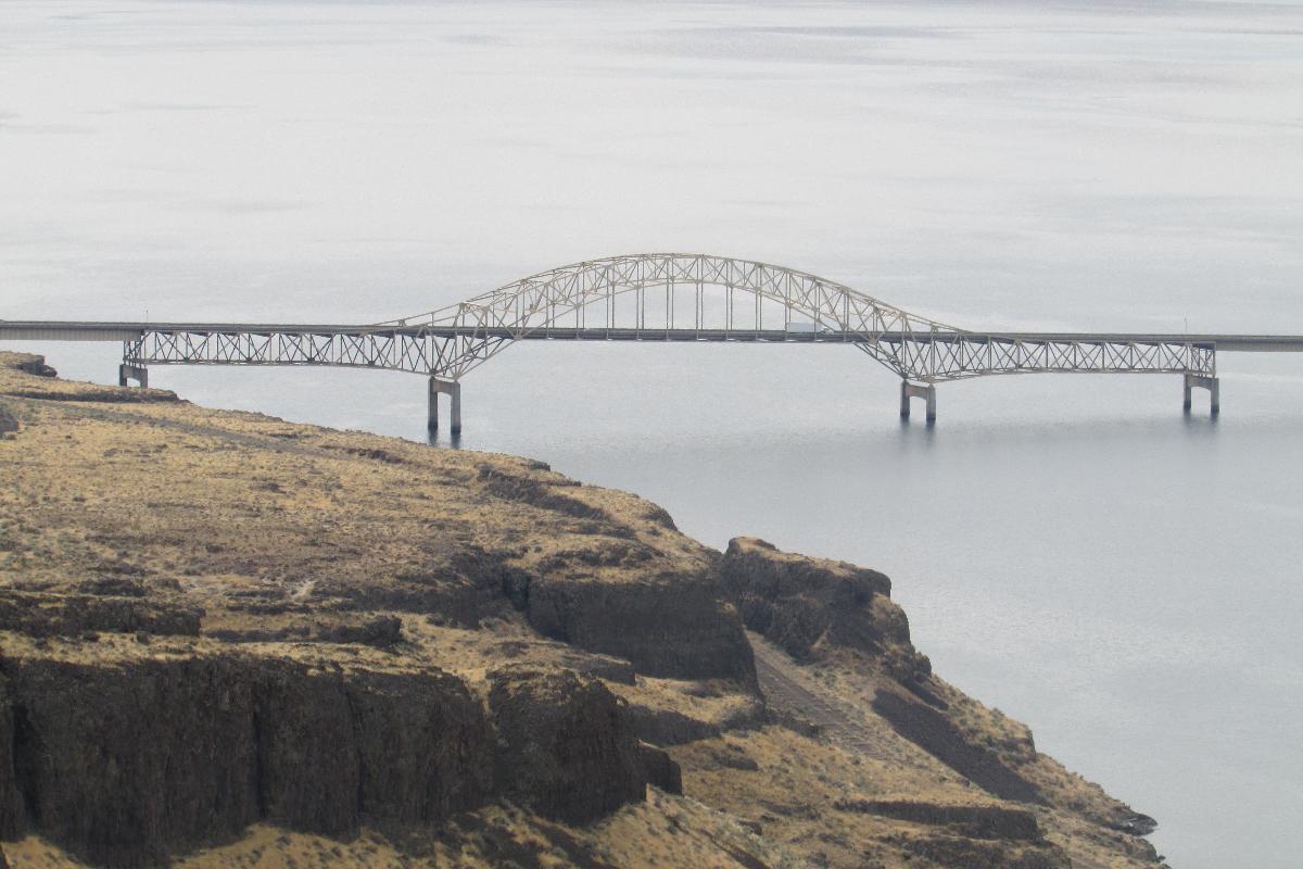
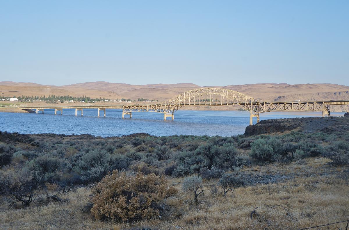
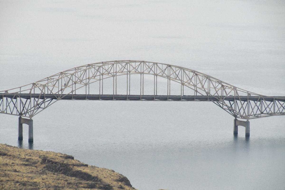
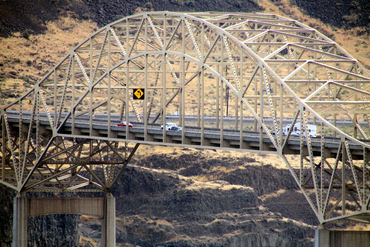
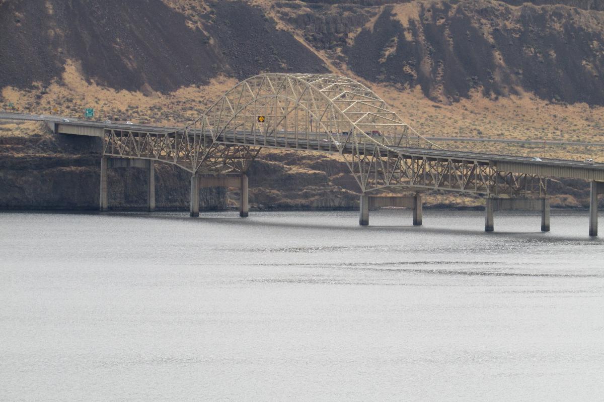
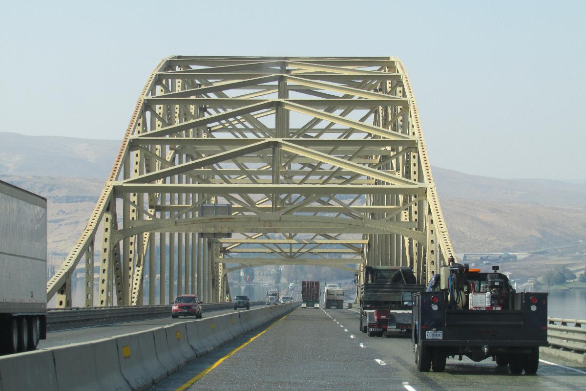
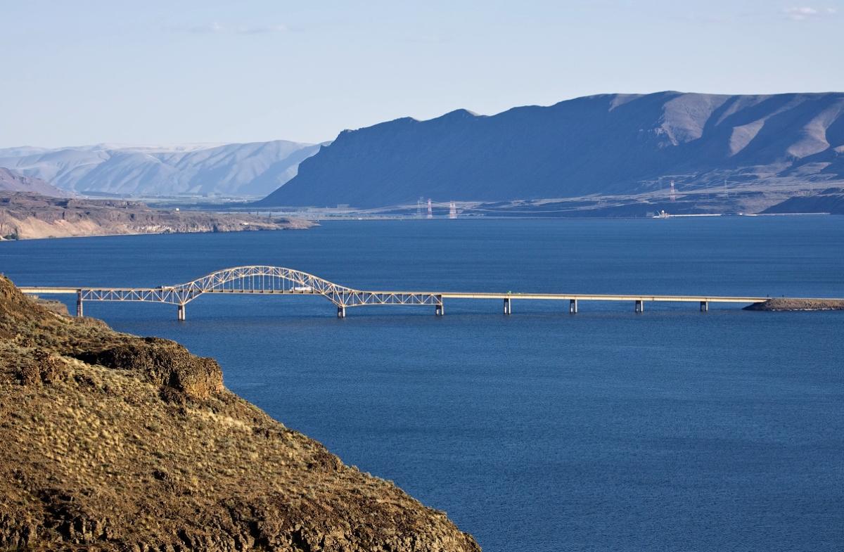
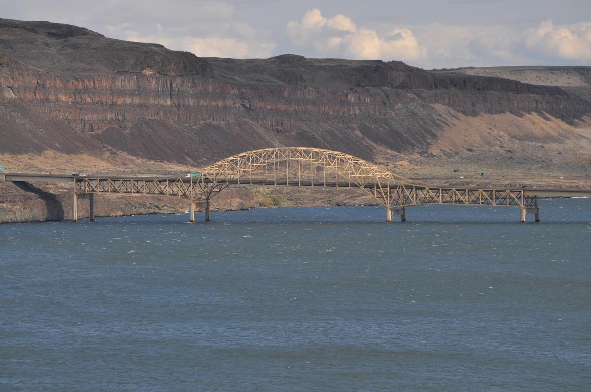
The Vantage Bridge is a bridge in the U.S. state of Washington. It carries Interstate 90 across the Columbia River, near Vantage and George, Washington. This section of the river is named Wanapum Lake; it is the reservoir formed by Wanapum Dam. The bridge separates the Ginkgo Petrified Forest and Wanapum Recreational Area State Park on the western bank of the Columbia.
The current bridge is the second Vantage Bridge. The first was built in 1927 as part of the Sunset Highway (later US 10), a precursor to I-90. In 1962 the second bridge was built because the reservoir pool backing up behind the new Wanapum Dam would soon overwhelm the old bridge; it was dedicated by the state on November 9, 1962. The first bridge was dismantled. In 1968 its steel cantilever truss was reused for the Lyons Ferry Bridge, where SR 261 crosses the Snake River.
Text imported from Wikipedia article "Vantage Bridge" and modified on 10 May 2023 according to the CC-BY-SA 3.0 license.
Participants
Currently there is no information available about persons or companies having participated in this project.
Relevant Web Sites

Relevant Publications
- : Spanning Washington. Historic Highway Bridges of the Evergreen State. Washington State University Press, Pullman (USA), pp. 111-112.
- About this
data sheet - Structure-ID
20031697 - Published on:
16/09/2007 - Last updated on:
06/05/2023
Structurae cooperates with


