
General Information
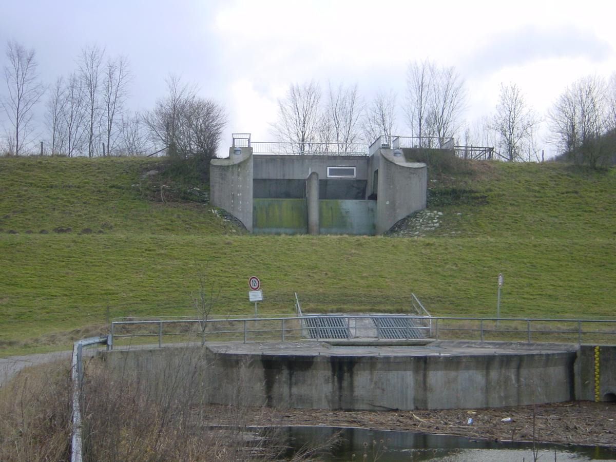
| Other name(s): | Hochwasserrückhaltebecken Ebbinghausen |
|---|---|
| Beginning of works: | 1976 |
| Completion: | 1980 |
| Status: | in use |
Project Type
| Structure: |
Earthfill dam |
|---|---|
| Function / usage: |
Flood-control dam |
Location
| Location: |
Lichtenau, Paderborn (Kreis), North Rhine-Westphalia, Germany |
|---|---|
| Impounds: |
|
| Coordinates: | 51° 36' 17.75" N 8° 49' 2.97" E |
Technical Information
Dimensions
| height | 17.00 m | |
| retained water volume | 3 430 000 m³ | |
| crest length | 350 m |
Participants
Currently there is no information available about persons or companies having participated in this project.
Relevant Web Sites
There currently are no relevant websites listed.
- About this
data sheet - Structure-ID
20020637 - Published on:
21/04/2006 - Last updated on:
16/05/2015
Structurae cooperates with


