
General Information
Project Type
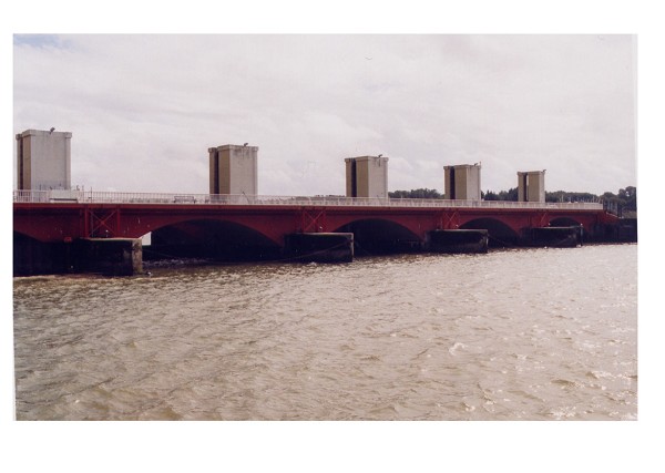
| Structure: |
Rising sector gate barrage Embankment dam |
|---|---|
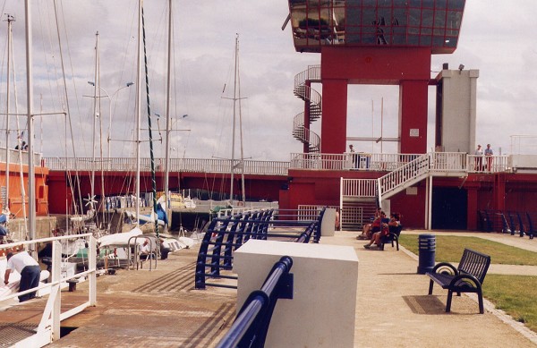
| Function / usage: |
Lock |
Location
| Location: |
Arzal, Morbihan (56), Bretagne, France |
|---|---|
| Impounds: |
|
| Coordinates: | 47° 29' 58.57" N 2° 22' 56.09" W |
Technical Information
Dimensions
| embankment | length | 370 m |
| gate | width | 18 m |
| lock | width | 13 m |
| length | 85 m |
Participants
Currently there is no information available about persons or companies having participated in this project.
Relevant Web Sites
There currently are no relevant websites listed.
Relevant Publications
- (1973): Achèvement du barrage d'Arzal. In: Travaux, n. 463 (October 1973), pp. 13.
- (1971): L'aménagement de la Vilaine et le barrage d'Arzal. In: Travaux, n. 435-436 (June 1971), pp. 9.
- (1968): Étude sur modèle réduit de la sédimentation dans l'estuaire de la vilaine après construction du barrage d'Arzal. In: La Houille Blanche, v. 54, n. 7 (October 1968), pp. 621-630.
- (1987): L'impact d'un barrage d'estuaire sur la migration des poissons amphihalins : le cas de l'anguille et du barrage d'Arzal. In: La Houille Blanche, v. 73, n. 1-2 (January 1987), pp. 99-108.
- About this
data sheet - Structure-ID
20014526 - Published on:
21/11/2004 - Last updated on:
18/10/2015
Structurae cooperates with


