
General Information
Project Type
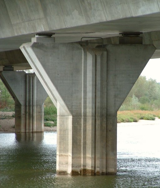
| Structure: |
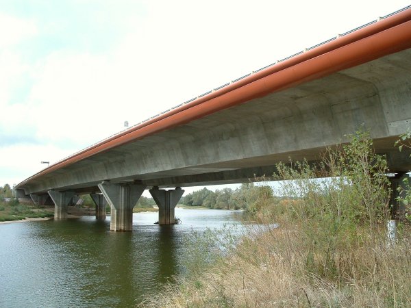
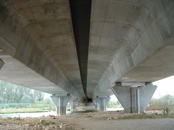
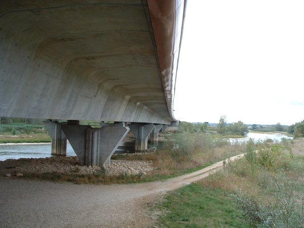
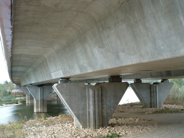
Box girder bridge |
|---|---|
| Function / usage: |
Motorway bridge / freeway bridge |
| Material: |
Prestressed concrete bridge Structurae Plus/Pro - Subscribe Now! |
| Construction method: |
Balanced cantilever method |
Location
| Location: |
Gevry, Jura (39), Bourgogne-Franche-Comté, France |
|---|---|
| Crosses: |
|
| Carries: |
|
| Part of: | |
| Coordinates: | 47° 2' 28.65" N 5° 27' 11.09" E |
Technical Information
Dimensions
| total length | 2 x 274 m | |
| span lengths | 44 m - 3 x 62 m - 44 m | |
| number of spans | 5 | |
| deck | deck depth | 3.10 m |
| deck width | 2 x 15.30 m |
Materials
| deck |
prestressed concrete
|
|---|---|
| piers |
reinforced concrete
|
Chronology
| March 1996 | Construction begins. |
|---|---|
| October 1997 | Completion. |
Participants
Owner
Client

Architecture
- Cabinet Fraleu
- Philippe Fraleu (architect)
- Pierre Loyer (architect)
Contractor
Foundations

Reinforcing steel
Sheet piling
Relevant Web Sites
There currently are no relevant websites listed.
Relevant Publications
- (1998): Autoroute A39. Les viaducs sur le Doubs et la Loue. In: Travaux, n. 739 (February 1998), pp. 26-33.
- About this
data sheet - Structure-ID
20007222 - Published on:
12/12/2002 - Last updated on:
15/04/2016
Structurae cooperates with


