

General Information
Project Type
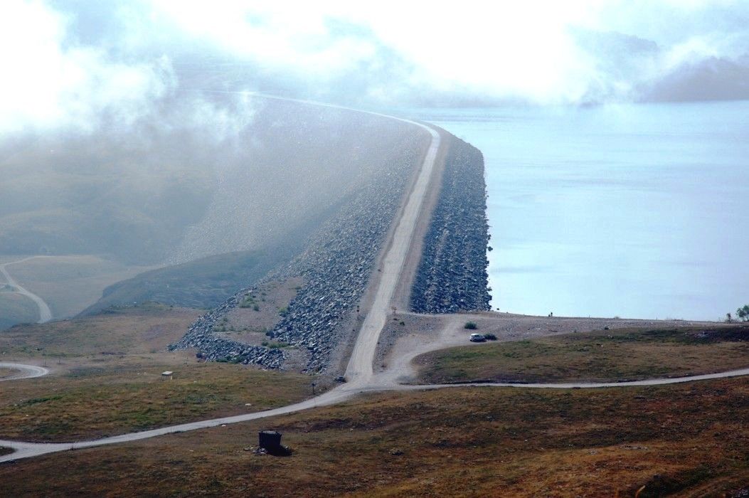
| Structure: |
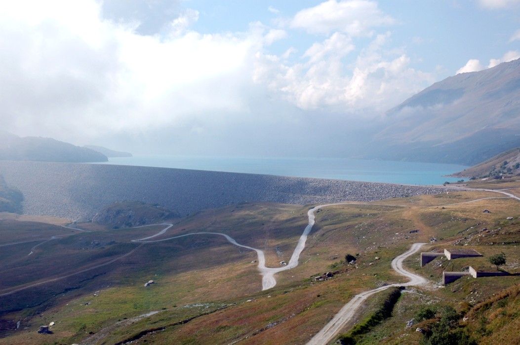
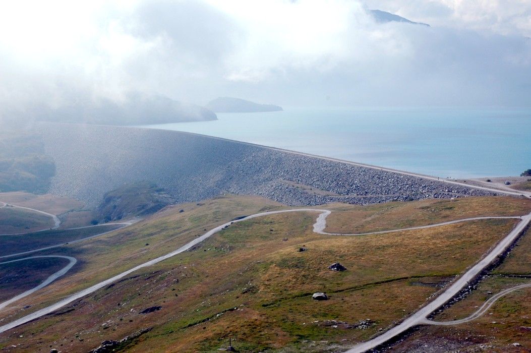
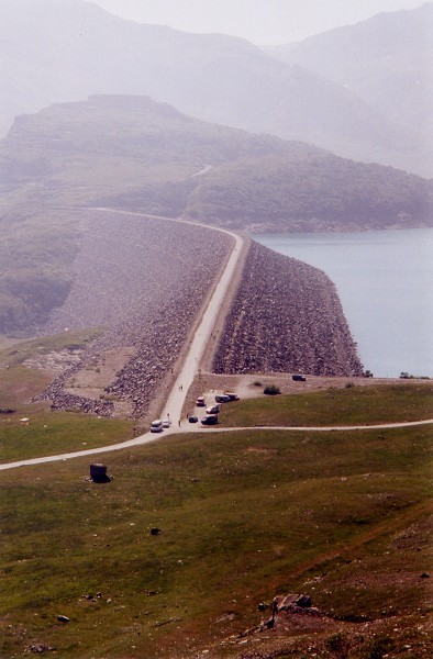
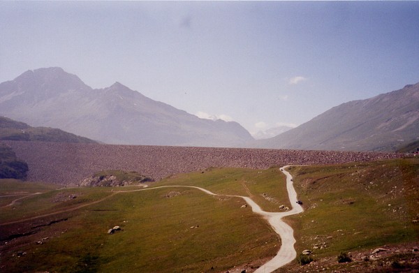
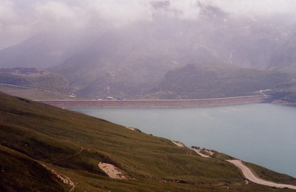
Embankment dam |
|---|---|
| Function / usage: |
Hydroelectric dam / plant |
Location
| Location: |
Lanslebourg-Mont-Cenis, Savoie (73), Auvergne-Rhône-Alpes, France |
|---|---|
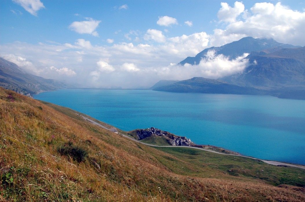
| Impounds: |
|
| Coordinates: | 45° 13' 30.67" N 6° 57' 10.93" E |
Technical Information
Dimensions
| height | 120.00 m | |
| retained water volume | 333.00 hm³ | |
| crest length | 1 400.00 m | |
| crest thickness | 12.00 m | |
| base thickness | 460.00 m | |
| dam volume | 14 700 000 m³ |
Participants
Owner
Relevant Web Sites
There currently are no relevant websites listed.
Relevant Publications
- (1967): Le barrage du Mont-Cenis. In: Travaux, n. 390 (August 1967), pp. 21.
- (1964): Le barrage du Mont-Cenis. Aménagement de l'Arc. In: Travaux, n. 353 (April 1964), pp. 227.
- (1970): Barrages du Mont-Cenis et de Vouglans. Fin des travaux et comportement pendant la mise en charge. In: Travaux, n. 423 (June 1970), pp. 13.
- About this
data sheet - Structure-ID
20003864 - Published on:
22/06/2002 - Last updated on:
17/01/2017
Structurae cooperates with


