
General Information
| Completion: | 1878 |
|---|---|
| Status: | out of service |
Project Type
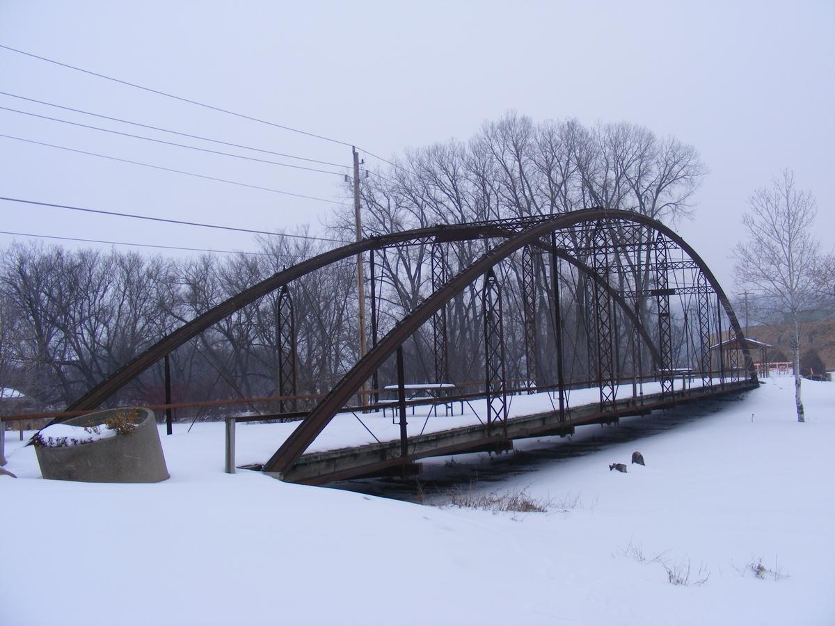
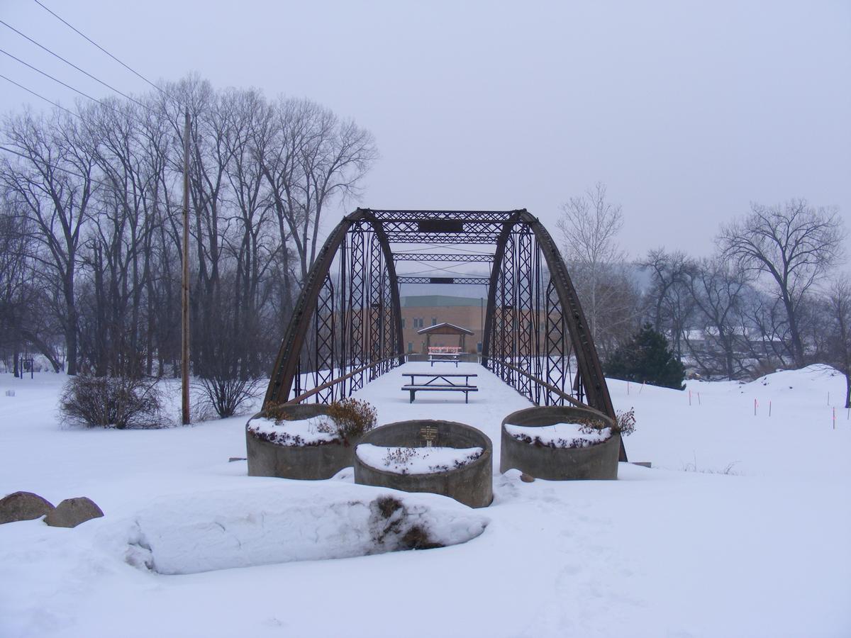
| Structure: |
Bowstring-arch-truss bridge Through truss bridge |
|---|---|
| Function / usage: |
original use: Road bridge |
| Material: |
Iron bridge |
Awards and Distinctions
| 1984 |
for registered users |
|---|
Location
| Location: |
Decorah, Winneshiek County, Iowa, USA |
|---|---|
| Crossed: |
|
| Location description: |
Originally crossed the Iowa river near Decorah and later moved to its current location inside Trout Run Park. |
| Coordinates: | 43° 17' 25.72" N 91° 45' 35.80" W |
Technical Information
Dimensions
| length | 48.8 m |
Chronology
| 1977 | Road deck is rebuilt. |
|---|
Participants
Construction
Relevant Web Sites

Relevant Publications
- (1984): Great American Bridges and Dams. A National Trust Guide. John Wiley & Sons, New York (USA), pp. 204.
- About this
data sheet - Structure-ID
20003601 - Published on:
16/06/2002 - Last updated on:
05/02/2016
Structurae cooperates with


