
General Information
| Other name(s): | L'Européenne |
|---|---|
| Status: | in use |
Project Type
| Function / usage: |
Motorway / Freeway / Interstate |
|---|
Location
| km | Name |
Technical Information
There currently is no technical data available.
Excerpt from Wikipedia
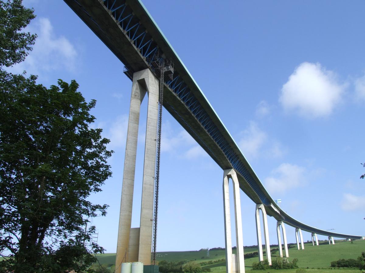
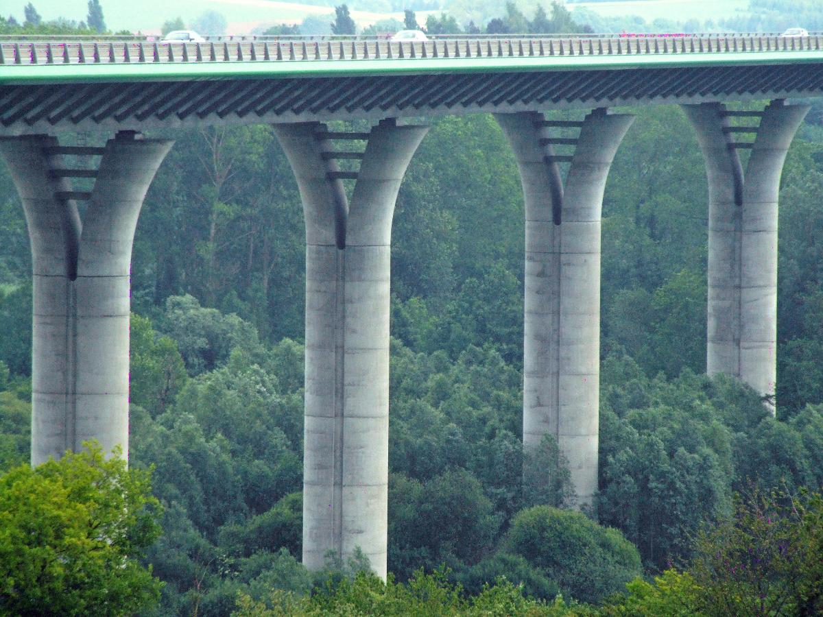
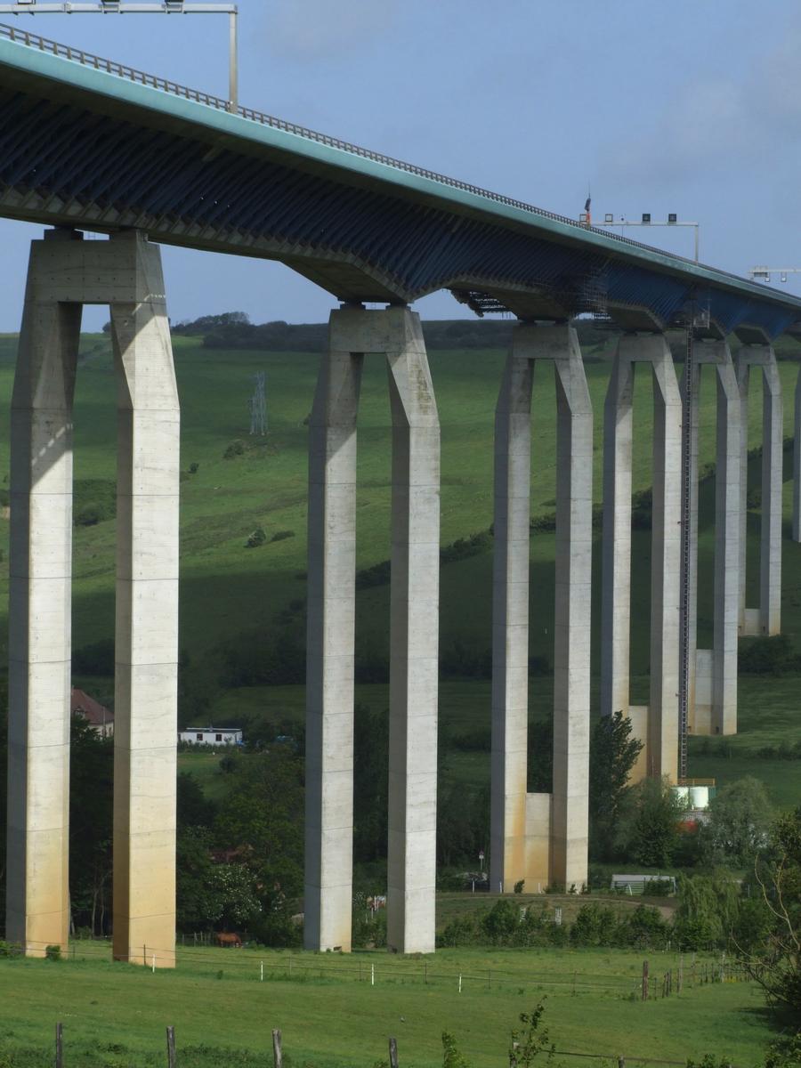
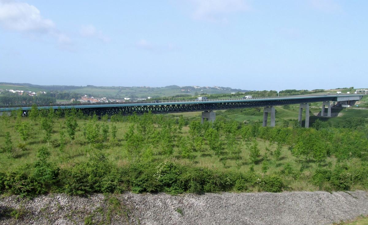
The A16 autoroute – also known as L'Européenne and forming between Abbeville and Dunkirk a part of the larger Autoroute des estuaires – is a motorway in northern France.
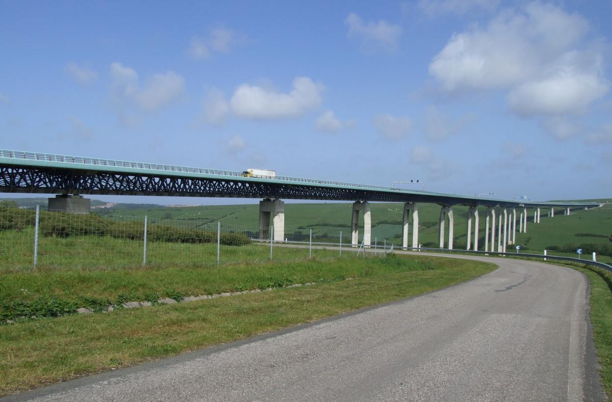
The motorway, which has a total length of 319 km (198 mi), starts at L'Isle-Adam in Île-de-France and ends at the Belgian frontier near Bray-Dunes, serving en route Beauvais, Amiens and Abbeville in Picardy, Boulogne-sur-Mer, Calais and Dunkirk in Nord-Pas-de-Calais. From Abbeville, the A16 runs parallel to the English Channel and then the North Sea coast.
The motorway was built in the 1990s to relieve the congested RN1 between Paris and the Côte d'Opale (Boulogne and Calais). Between L'Isle-Adam and Boulogne it is operated by the Société des Autoroutes du Nord et de l'Est de la France (SANEF) and is tolled. From Boulogne to the Belgian border the road is managed by the Direction Départementale de l'Équipement (DDE), which does not impose a toll.
Future extensions
An extension of the A16 south to the Francilienne, the outer Parisian ringroad Is currently under construction. The section will open in 2020.
This new 8.5 km (5.3 mi) long section wil be operated by the SANEF.
Text imported from Wikipedia article "A16 autoroute" and modified on 22 July 2019 under the CC-BY-SA 3.0 license.
Participants
Concessionaire
Architecture
Co-contractor
Relevant Web Sites


Relevant Publications
- (1997): A16 - Flixecourt - Abbeville. Terrassements et environnement. In: Travaux, n. 729 (March 1997), pp. 10-13.
- (1997): A16 - Les terrassements du lot 5 Berck - Widehem. In: Travaux, n. 729 (March 1997), pp. 14-21.
- (1997): A16 depuis Amiens vers Boulogne-sur-Mer. In: Travaux, n. 730 (April 1997), pp. 16-22.
- (1994): A16. Evaluation des plate-formes. In: Travaux, n. 704 (December 1994), pp. 34-39.
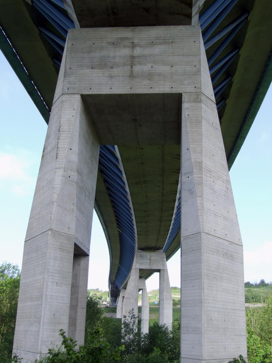
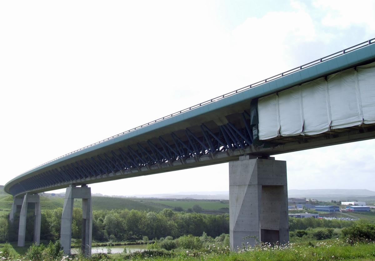
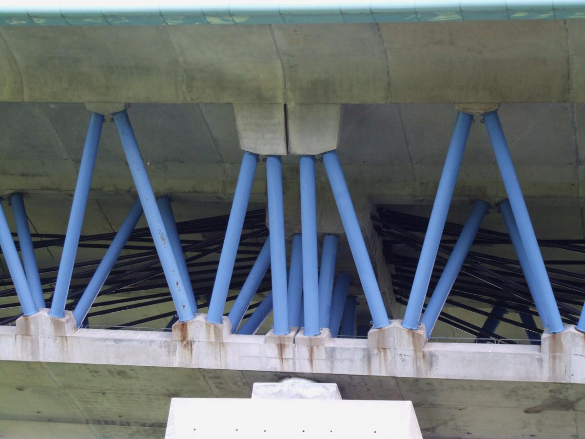
- : A16. Les viaducs du Boulonnais et du Scardon. Présentation de l'ensemble des projets. Presented at: , pp. 261-270.
- About this
data sheet - Structure-ID
10000194 - Published on:
02/02/2003 - Last updated on:
12/12/2023
Structurae cooperates with


