
General Information
Project Type
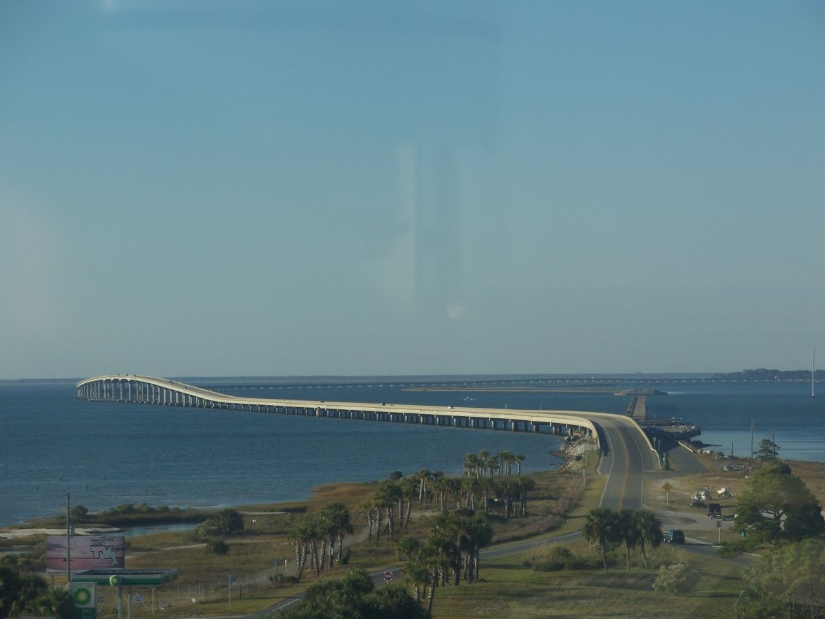
| Structure: |
Girder bridge |
|---|---|
| Function / usage: |
Road bridge |
Location
| Location: |
Eastpoint, Franklin County, Florida, USA |
|---|---|
| Crosses: |
|
| Replaces: |
Saint George Island Causeway Bridge
|
| Coordinates: | 29° 42' 12.89" N 84° 53' 25.59" W |
Technical Information
Dimensions
| total length | 6 588.3 m | |
| number of spans | 166 | |
| number of lanes | 2 | |
| deck | deck width | 13.4 m |
Cost
| cost of construction | United States dollar 71 675 000 |
Chronology
| March 2004 | Opened to traffic. |
|---|
Participants
Owner
Design
Construction engineers
Contractor
Relevant Web Sites
There currently are no relevant websites listed.
Relevant Publications
- (2004): Condemned bridge used in ship collision research. In: Bridge Update, n. 43 (April 2004), pp. 1-2.
- About this
data sheet - Structure-ID
20006195 - Published on:
14/10/2002 - Last updated on:
27/12/2019
Structurae cooperates with


