
General Information
| Completion: | 5 November 1910 |
|---|---|
| Status: | in use |
Project Type
| Structure: |
Underground structure |
|---|---|
| Function / usage: |
Below grade metro or light-rail station |
Location
| Location: |
Paris (19th), Paris, Ile-de-France, France |
|---|---|
| Part of: | |
| Coordinates: | 48° 53' 29.76" N 2° 22' 37.45" E |
Technical Information
There currently is no technical data available.
Excerpt from Wikipedia
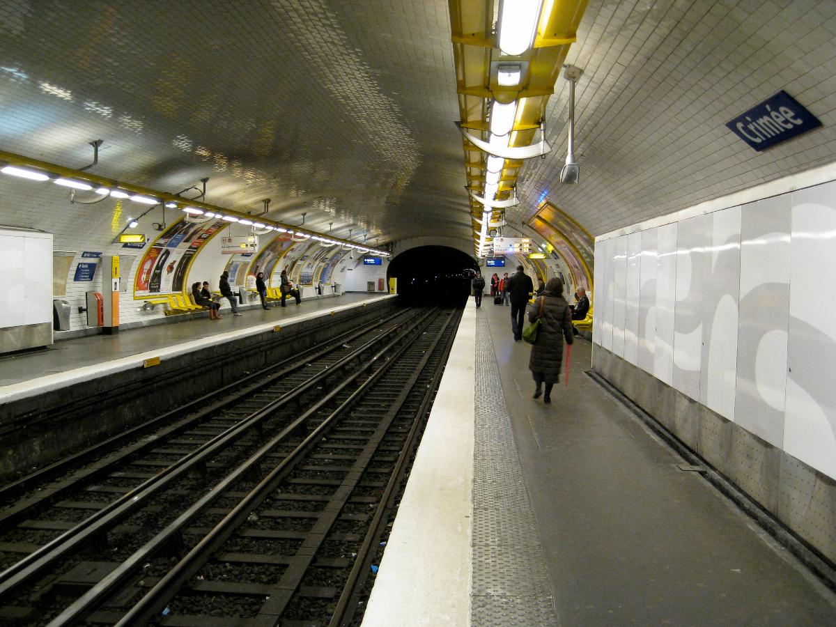
Crimée is a station of the Paris Métro. This station bears the name of the Crimean War (1855–56), on the Crimean Peninsula of the Russian Empire on the Black Sea, where a coalition of Turkey, the United Kingdom, France and Piedmont faced Russia. It was notable for the Siege of Sevastopol (1854–1855) and the Charge of the Light Brigade. The conflict ended in the Treaty of Paris (1856).
Nearby are la Villette Basin and the Canal de l'Ourcq.
Text imported from Wikipedia article "Crimée (Paris Métro)"
and modified on 23 July 2019 under the CC-BY-SA 3.0 license.
Participants
Currently there is no information available about persons or companies having participated in this project.
Relevant Web Sites

- About this
data sheet - Structure-ID
20051522 - Published on:
08/01/2010 - Last updated on:
25/01/2022
Structurae cooperates with


