
General Information
| Other name(s): | Station de métro Bagnolet |
|---|---|
| Completion: | 31 January 1903 |
| Status: | in use |
Project Type
| Structure: |
Underground structure |
|---|---|
| Function / usage: |
Below grade metro or light-rail station |
Location
| Location: |
Paris (11th), Paris, Ile-de-France, France Paris (20th), Paris, Ile-de-France, France |
|---|---|
| Part of: | |
| Coordinates: | 48° 51' 21" N 2° 23' 41" E |
Technical Information
There currently is no technical data available.
Excerpt from Wikipedia
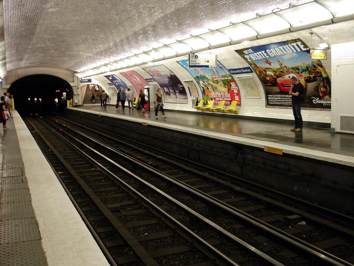
Alexandre Dumas is a station on Paris Métro Line 2, on the border of the 11th and 20th arrondissements.
The station was opened on 31 January 1903 as part of the extension of line 2 (known at the time as "2 Nord") from Anvers. It was the eastern terminus of the line until 2 April 1903 when it was extended to Nation. The station was originally called Bagnolet after the Rue de Bagnolet, the road to Bagnolet. On 13 September 1970, it was renamed after the French author Alexandre Dumas and the Rue Alexandre Dumas. It was the location of the Barrière de Fontarabie, a gate built for the collection of taxation as part of the Wall of the Farmers-General; the gate was built between 1784 and 1788 and demolished during the nineteenth century.
Text imported from Wikipedia article "Alexandre Dumas (Paris Métro)"
and modified on 23 July 2019 under the CC-BY-SA 3.0 license.
Participants
Currently there is no information available about persons or companies having participated in this project.
Relevant Web Sites

- About this
data sheet - Structure-ID
20051408 - Published on:
07/01/2010 - Last updated on:
25/01/2022
Structurae cooperates with


