
General Information
Project Type
| Function / usage: |
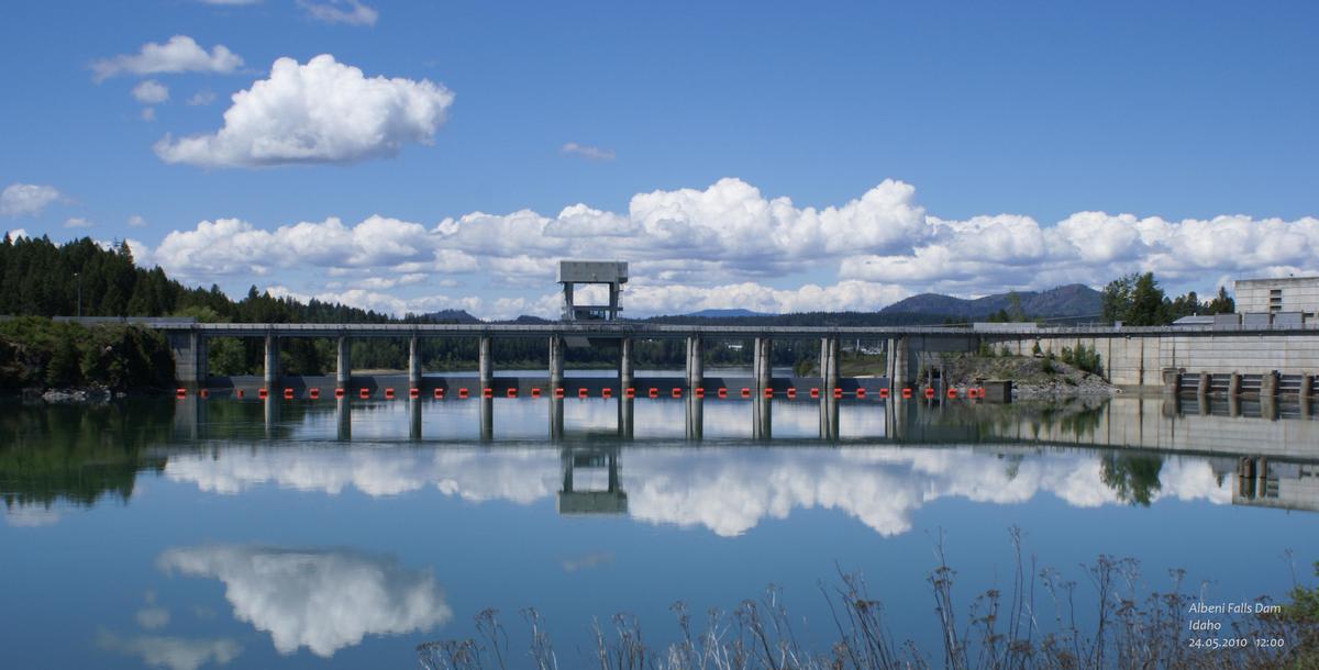
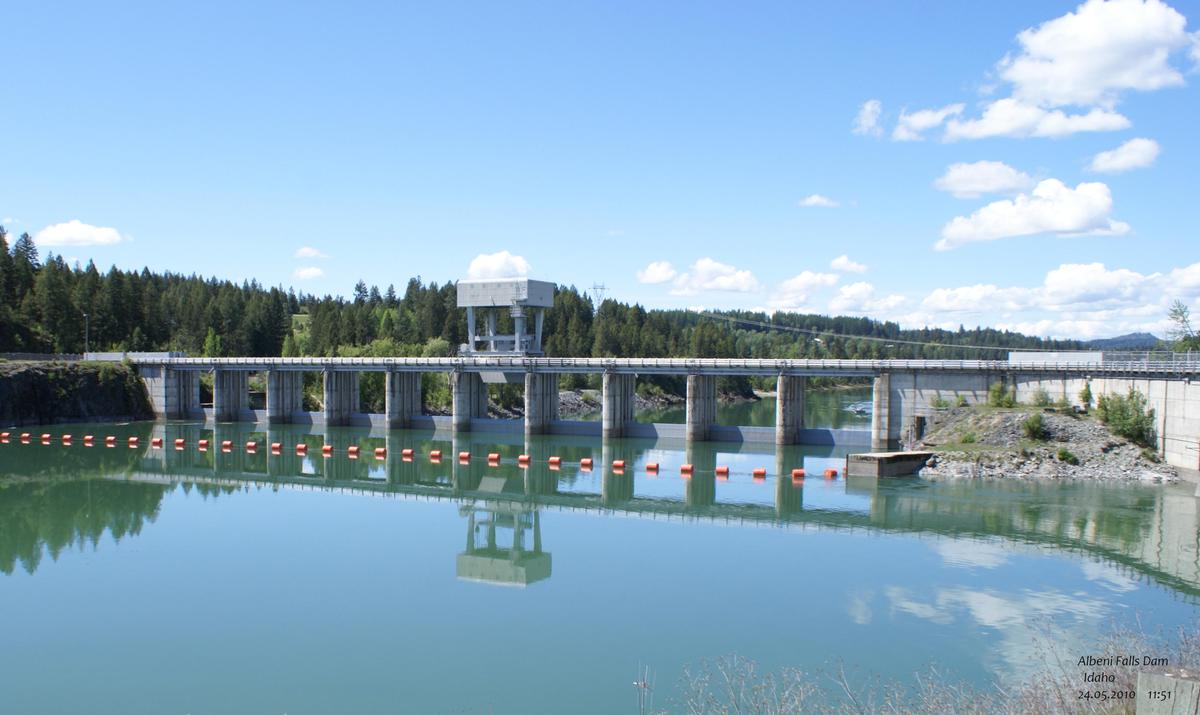
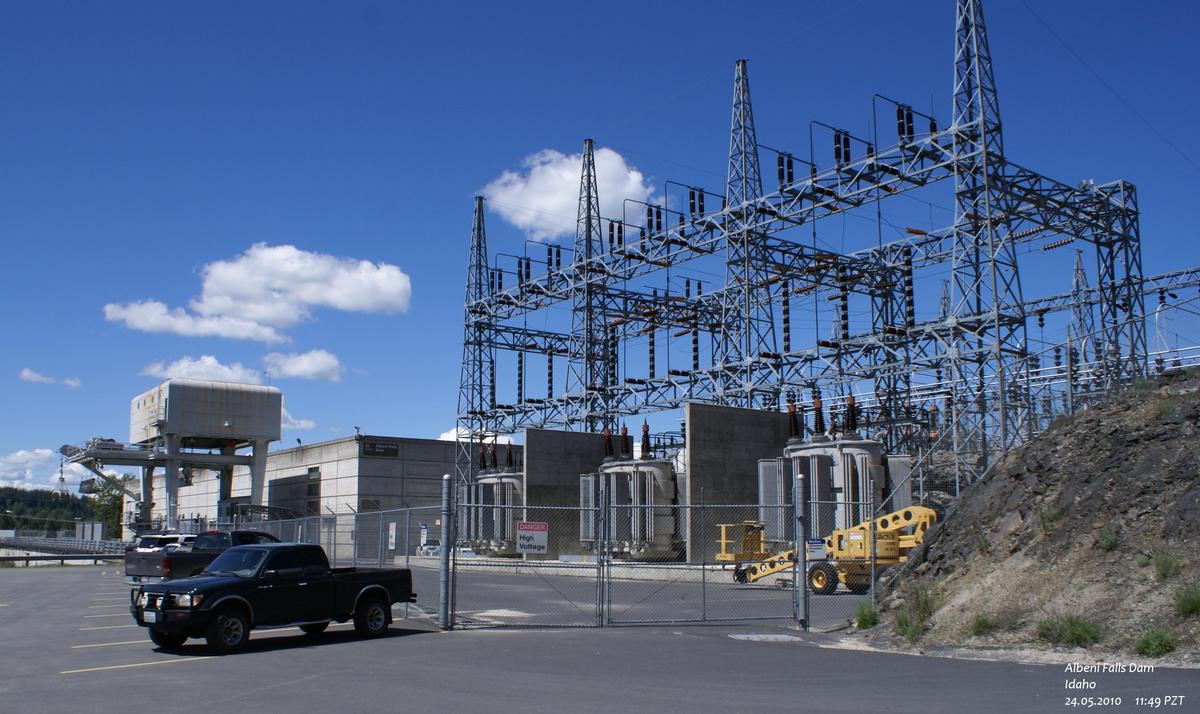
Hydroelectric dam / plant Flood-control dam |
|---|
Location
| Location: |
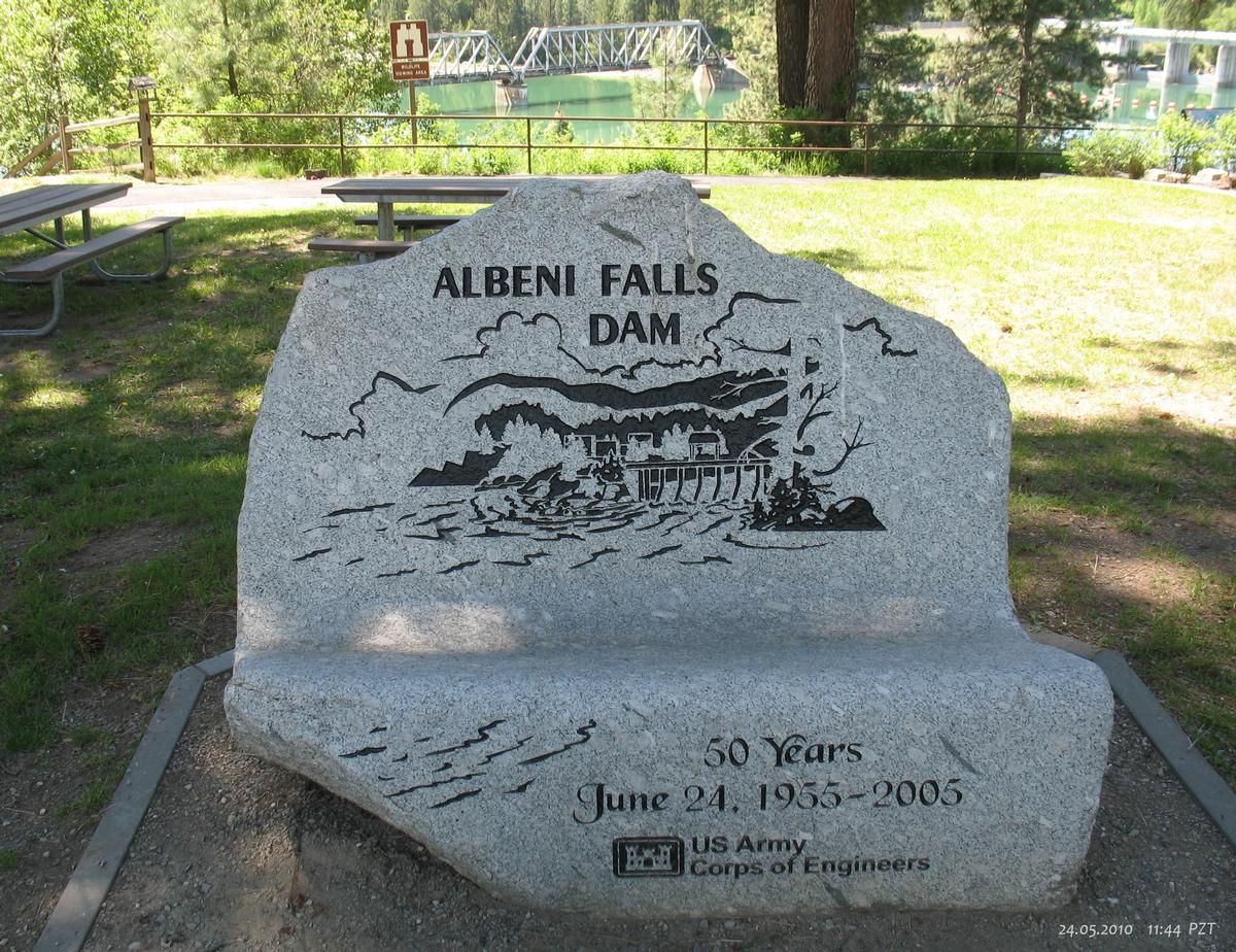
Oldtown, Bonner County, Idaho, USA |
|---|---|
| Impounds: |
|
| Coordinates: | 48° 10' 45.60" N 116° 59' 58.80" W |
Technical Information
Dimensions
| capacity for electric power generation | 42.6 MW | |
| spillway length | 143.9 m |
Participants
(role unknown)
Relevant Web Sites
There currently are no relevant websites listed.
- About this
data sheet - Structure-ID
20008603 - Published on:
13/03/2003 - Last updated on:
27/11/2018
Structurae cooperates with


